
Newsletter
Categories
- All topics
- 360i
- 3d
- 3D digital twin
- 3D modeling
- Abraham Lincoln
- accessory
- accuracy
- Accurate Survey Data
- ADA
- AEC
- aerial
- affordable
- African American
- Agents of Discovery
- Agricultural optimization
- American
- analysis
- Android
- Apglos Survey Wizard
- apps
- APRIL2024
- APRIL2026
- ArcGIS
- architecture
- As-built
- ASCE
- Asset inventory
- Asset management
- AUG2023
- augmented reality
- avenza
- aviation
- awareness
- Bad Elf
- Bad Elf GPS
- base
- base and rover
- base/rover
- Bluetooth
- Brain Processes
- breaks
- Broad Street pump
- buffer
- bug fixes
- CAD
- Cartography
- cholera outbreak
- Christmas
- Clarice Starling
- Cognitive Maps
- Comic
- community
- Compliance
- Conference
- constellations
- construction
- construction professionals
- consultation
- coordinate systems
- CORS
- Cost Effective Surveying
- Cost Savings
- Custom GIS Solutions
- Custom Integration
- data collection
- data visualization
- datum
- DEC2023
- DEC2024
- Decision-making
- Design with Nature
- Digital Asset Mapping
- Digital delivery
- digital twin
- Dinosaur fossils
- Drone
- drones
- Ecological planning
- Ecology
- Economics
- Education
- Efficient Land Surveys
- Electric utility
- Ellen Churchill Semple
- enablement
- engineering
- environmental determinism
- Environmental stewardship
- epidemiology
- equity
- error
- Esri
- Esri ArcGIS
- Extreme Accuracy
- Facility management
- fatalities
- FEB2024
- FEB2026
- Field Maps
- field workers
- Fieldwork safety
- Firmware
- Flex
- Flex Mini
- ForeFlight
- Fossil location
- frequency
- fuel gauge
- GCP
- GCT
- Geodesy
- geography
- geoid
- geomatics
- geoprocessing
- geospatial
- Geospatial Data
- Geospatial Enablement Team
- geospatial professional
- Geospatial technology
- GET
- gis
- GIS implementation
- GIS solutions
- GIS Training
- GNSS
- GNSS receivers
- GPS
- GPS data collection
- GPS Integration
- Grid
- Ground
- ground control
- ground control targets
- Ground Penetrating Radar
- Halloween
- hazards
- high accuracy
- High Precision Survey
- high-accuracy
- history
- infrastructure
- injuries
- injury
- Inventor
- iOS
- JAN2024
- JAN2025
- jingle bells
- John Snow
- JULY2023
- JUNE2023
- JUNE2024
- JUNE2025
- land surveying
- Land surveyor
- land surveyors
- Land use
- Landscape architecture
- Laser
- Laser rangefinder
- LasterTech
- Layer cake analysis
- legacy
- LiDAR
- Local government
- LTI TruPulse 360i
- map
- Mapping
- MAR2025
- MARCH2024
- math
- mathematics
- MAY2023
- MAY2024
- May2025
- Mental Maps
- miasma theory
- Mock location
- Modernization
- Muhammad al-Idrisi
- NAD27
- NAD83
- NATRF2022
- navigation
- NDVI
- Newsletter
- NIR
- NMEA
- NOV2023
- NOV2024
- NTRIP
- oct2023
- oct2024
- OCT2025
- Offline
- Offset
- Operations Optimization
- paddle
- pairing
- Paleontological fieldwork
- Paleontology
- pilot
- Pix4D
- PIX4D Catch
- Pix4Dcatch
- planes
- planning
- portable
- PPE
- Precise Mapping
- precision
- Precision Mapping
- President
- prevention
- protocols
- public funding
- public health
- public works
- quickcapture
- radio
- Rangefinder
- real-time
- real-time data collection
- Real-time monitoring
- reality capture
- Regulatory compliance
- remote data collection
- right of way
- Roger Tomlinson
- rover
- RTK
- Safety
- Safety Optimization
- safety tips
- satellite
- scanning
- SDK
- SEPT2023
- SEPT2024
- SEPT2025
- Sign Management Solution
- signals
- Simplified GIS
- Site survey package
- slope
- Small organizations
- solutions
- song
- Spatial analysis
- Spatial Data
- spatial mapping
- ssp
- STEM
- Stratigraphy
- support
- survey
- survey-grade
- survey123
- surveying
- Surveying Technology
- Sustainability design
- Tabula Rogeriana
- tool
- topographic maps
- topology
- total stations
- training
- Training solutions
- transition plan
- Tree Inventory
- Tree Management Solution
- Tribrach
- Tribrachasaur
- tron
- Urban Planning
- User Friendly Survey App
- utilities
- Utility App
- utility design
- Utility pole measurements
- UTM
- Vegetation
- Washington DC
- Webmap
- WGS-84
- women
- workforce
- workplace
- workplace safety
- world
-


Right Tool for the Right Job

Bad Elf GNSS receivers like the Flex Mini and Flex Extreme help crews capture accurate location data fast when paired with apps like Esri Field Maps, PointMan, Pix4Dcatch, or Apglos Survey Wizard. The Flex Mini fits large deployments and versatile field work, while the Flex Extreme supports higher-accuracy jobs, rangefinder workflows, and rugged remote mapping.
-


Silence of the Map

Join the Bad Elf crew in Silence of the Mapping, a hilarious GPS and GIS-themed Halloween tale where precision meets parody as Poly and her team use high-accuracy geospatial tech to track down a mischievous yeti and save the map.
-
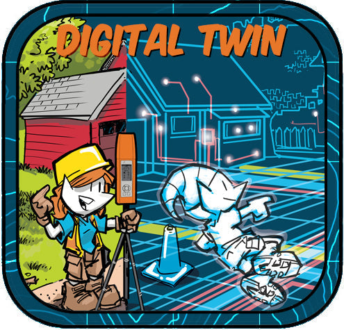

Like Tron? You will Love the Digital Twin
Step inside the "grid." Not "ground" for you surveyors out there. With Bad Elf GNSS powering precision and modern GIS tools lighting the way, reality and virtual design fuse into one electrifying experience! Read more about the digital twin today.
-


You gotta Pix4Dcatch ‘em all!
Turn your mobile device into a reality-capture Pokédex! Pairing Bad Elf GNSS with Pix4Dcatch lets you scan with precision, so every 3D model you collect is a legendary catch. Start catching them all today!
-
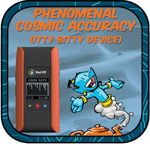

Phenomenal Cosmic Accuracy, Itty Bitty Device
Unlock survey-grade accuracy in the palm of your hand without the need of a genie and his lamp. At Bad Elf we call this Engineering Magic. Read more about how the Flex Mini Extreme achieves 2cm or better horizontal accuracy for only $1,499.99 USD.
-


Why Aviation Professionals Choose Bad Elf
The Bad Elf Flex Mini is a cost-effective, high-accuracy GNSS receiver that seamlessly integrates with ForeFlight, making it the ideal GPS solution for pilots seeking reliable, subscription-free navigation.
-
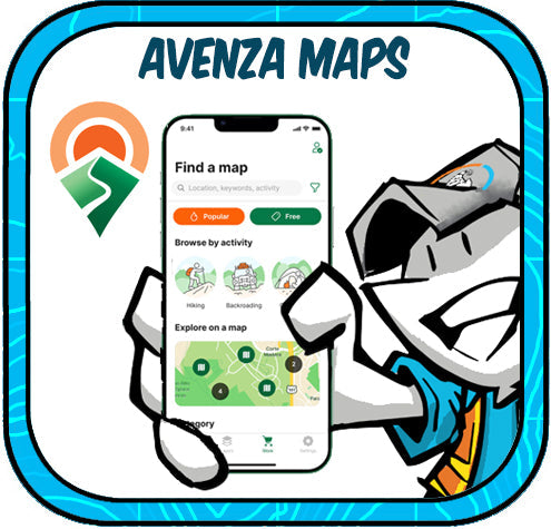

Field-Ready and Offline: Avenza Maps + Bad Elf GPS = Smart Mapping Made Simple
Avenza Maps paired with Bad Elf GPS receivers like the Flex and Flex Mini delivers high-accuracy, offline mapping for field professionals in forestry, utilities, environmental monitoring, and emergency response.
-
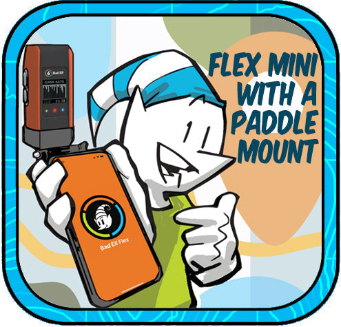

Flex Mini: Big GNSS Power in a Tiny Package
The Bad Elf Flex Mini is an affordable, high-accuracy GNSS receiver with RTK capability and a unique paddle mount that simplifies professional-grade mobile mapping for any smartphone or tablet.
-
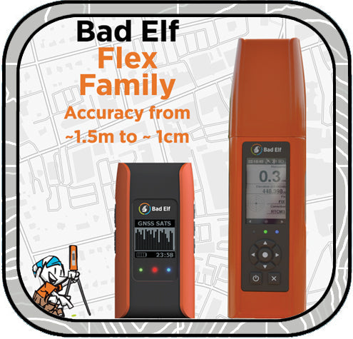

Bad Elf Flex: GNSS Game Changer
Bad Elf Flex GNSS delivers high-precision mapping at a fraction of the cost, with transparent pricing, no annual fees, free USA-based support, and seamless Bluetooth connectivity to any device. Shop now at Bad Elf Webstore or contact sales@bad-elf.com for a quote or trial!
-
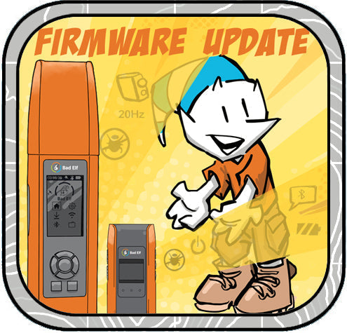

Flex Firmware Updates!
Last week we released a new version of the Bad Elf Flex app. This is mostly a maintenance release with minor bug fixes, but includes some behind-the-scenes updates that will give us a good foundation for new features coming in 2025!
-
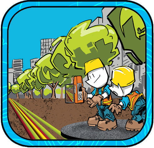

A Modern Solution for 3D Digital Twin and Augmented Reality
City utility workers can now locate buried assets with unmatched precision using the Bad Elf Flex Extreme GNSS receiver paired with the Pix4Dcatch app. This innovative solution combines centimeter-level GNSS accuracy, real-time 3D scanning, and augmented reality to superimpose GIS data onto live views for efficient field operations. By creating detailed 3D digital twins and enhancing workflows, this technology revolutionizes asset management and infrastructure maintenance.
-


A Year-End Reflection from the Creators of HERE, HERE
The HERE HERE newsletter team reflects on nearly three years and 28 episodes of crafting geospatial content that blends education, humor, and creativity, celebrating our community with intentionally designed toons and cheesy jokes, while looking forward to many more years of fun and connection.


