Revolutionize Data Collection with Bad Elf and LTI

Bad Elf's GNSS technology pairs seamlessly via Bluetooth with the LTI TruPulse 360i and other legacy LTI laser rangefinders. This integration empowers field professionals to collect accurate location data in challenging environments, enhancing safety and efficiency.
The Basics: GNSS Technology
Global Navigation Satellite Systems (GNSS) provide precise location data by triangulating signals from satellites. Devices like the Bad Elf Flex use GNSS to achieve high-accuracy positioning, making them invaluable for surveying, mapping, and infrastructure management.
What Are Laser Rangefinders?
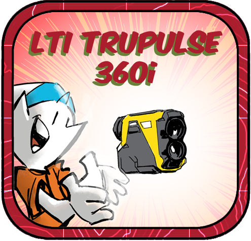
Laser rangefinders measure distances by timing how long it takes a laser beam to hit a target and reflect back. Modern models, like the LTI TruPulse 360i, can also calculate angles and azimuths, enabling precise 3D mapping of remote points.

Safety and Accuracy in the Field
Pairing the Bad Elf Flex with an LTI rangefinder creates a powerful solution for remote data collection. Here's how:
- Remote Measurement: Capture x, y, z coordinates of hard-to-reach points.
- Enhanced Safety: Maintain distance from busy intersections, dangerous slopes, or other hazards.
- Utility Applications: Easily measure utility pole attachment heights without physical contact.
- Seamless Data Flow: Bluetooth connectivity ensures real-time data capture and integration into your workflow.
This pairing is ideal for collecting data in complex environments like urban intersections and utility corridors. Together, Bad Elf and LTI ensure precision, safety, and efficiency. For more information follow the links below or email Bad Elf to talk to a Geospatial Enablement Specialist today!
🔗 Learn more about the Bad Elf Flex
🔗 Explore the LTI TruPulse 360i


Dr. Smilovsky is the Geospatial Solutions Director for Bad Elf, a GNSS technologies company. Dr S is a faculty member at Arizona State University teaching various GIS and design classes. He is a certified Geographic Information Systems Professional, a certified Arborist, and a Part 107 certified UAV pilot. As a geospatial evangelist, custom geospatial solutions provider, and geographic researcher Dr. S is widely versed in all things geodetic. He is a proud Geoholic!