
Newsletter
Categories
- All topics
- 360i
- 3d
- 3D digital twin
- 3D modeling
- Abraham Lincoln
- accessory
- accuracy
- Accurate Survey Data
- ADA
- AEC
- aerial
- affordable
- African American
- Agents of Discovery
- Agricultural optimization
- American
- analysis
- Android
- Apglos Survey Wizard
- apps
- APRIL2024
- APRIL2026
- ArcGIS
- architecture
- As-built
- ASCE
- Asset inventory
- Asset management
- AUG2023
- augmented reality
- avenza
- aviation
- awareness
- Bad Elf
- Bad Elf GPS
- base
- base and rover
- base/rover
- Bluetooth
- Brain Processes
- breaks
- Broad Street pump
- buffer
- bug fixes
- CAD
- Cartography
- cholera outbreak
- Christmas
- Clarice Starling
- Cognitive Maps
- Comic
- community
- Compliance
- Conference
- constellations
- construction
- construction professionals
- consultation
- coordinate systems
- CORS
- Cost Effective Surveying
- Cost Savings
- Custom GIS Solutions
- Custom Integration
- data collection
- data visualization
- datum
- DEC2023
- DEC2024
- Decision-making
- Design with Nature
- Digital Asset Mapping
- Digital delivery
- digital twin
- Dinosaur fossils
- Drone
- drones
- Ecological planning
- Ecology
- Economics
- Education
- Efficient Land Surveys
- Electric utility
- Ellen Churchill Semple
- enablement
- engineering
- environmental determinism
- Environmental stewardship
- epidemiology
- equity
- error
- Esri
- Esri ArcGIS
- Extreme Accuracy
- Facility management
- fatalities
- FEB2024
- FEB2026
- Field Maps
- field workers
- Fieldwork safety
- Firmware
- Flex
- Flex Mini
- ForeFlight
- Fossil location
- frequency
- fuel gauge
- GCP
- GCT
- Geodesy
- geography
- geoid
- geomatics
- geoprocessing
- geospatial
- Geospatial Data
- Geospatial Enablement Team
- geospatial professional
- Geospatial technology
- GET
- gis
- GIS implementation
- GIS solutions
- GIS Training
- GNSS
- GNSS receivers
- GPS
- GPS data collection
- GPS Integration
- Grid
- Ground
- ground control
- ground control targets
- Ground Penetrating Radar
- Halloween
- hazards
- high accuracy
- High Precision Survey
- high-accuracy
- history
- infrastructure
- injuries
- injury
- Inventor
- iOS
- JAN2024
- JAN2025
- jingle bells
- John Snow
- JULY2023
- JUNE2023
- JUNE2024
- JUNE2025
- land surveying
- Land surveyor
- land surveyors
- Land use
- Landscape architecture
- Laser
- Laser rangefinder
- LasterTech
- Layer cake analysis
- legacy
- LiDAR
- Local government
- LTI TruPulse 360i
- map
- Mapping
- MAR2025
- MARCH2024
- math
- mathematics
- MAY2023
- MAY2024
- May2025
- Mental Maps
- miasma theory
- Mock location
- Modernization
- Muhammad al-Idrisi
- NAD27
- NAD83
- NATRF2022
- navigation
- NDVI
- Newsletter
- NIR
- NMEA
- NOV2023
- NOV2024
- NTRIP
- oct2023
- oct2024
- OCT2025
- Offline
- Offset
- Operations Optimization
- paddle
- pairing
- Paleontological fieldwork
- Paleontology
- pilot
- Pix4D
- PIX4D Catch
- Pix4Dcatch
- planes
- planning
- portable
- PPE
- Precise Mapping
- precision
- Precision Mapping
- President
- prevention
- protocols
- public funding
- public health
- public works
- quickcapture
- radio
- Rangefinder
- real-time
- real-time data collection
- Real-time monitoring
- reality capture
- Regulatory compliance
- remote data collection
- right of way
- Roger Tomlinson
- rover
- RTK
- Safety
- Safety Optimization
- safety tips
- satellite
- scanning
- SDK
- SEPT2023
- SEPT2024
- SEPT2025
- Sign Management Solution
- signals
- Simplified GIS
- Site survey package
- slope
- Small organizations
- solutions
- song
- Spatial analysis
- Spatial Data
- spatial mapping
- ssp
- STEM
- Stratigraphy
- support
- survey
- survey-grade
- survey123
- surveying
- Surveying Technology
- Sustainability design
- Tabula Rogeriana
- tool
- topographic maps
- topology
- total stations
- training
- Training solutions
- transition plan
- Tree Inventory
- Tree Management Solution
- Tribrach
- Tribrachasaur
- tron
- Urban Planning
- User Friendly Survey App
- utilities
- Utility App
- utility design
- Utility pole measurements
- UTM
- Vegetation
- Washington DC
- Webmap
- WGS-84
- women
- workforce
- workplace
- workplace safety
- world
-


The Most Honest of Bad Elves

Did you know the 16th President of the United States of America, Abraham Lincoln, became a deputy county surveyor in Illinois in 1833. Yes you read that correctly, "honest Abe" was first an "honest surveyor!"
-


The Epic Tale of the Tribrachasaur
In ancient times, the legendary Tribrachasaur roamed the land, embodying the precision and stability of a modern tribrach used by land surveyors. With its three mighty legs ensuring perfect balance and eyes capable of capturing every detail, it helped tribes map their territories with unparalleled accuracy. Today, surveyors honor the Tribrachasaur's legacy by striving for the highest standards of precision and integrity in their craft.
-


Enhancing Accuracy with ESRI ArcGIS and High-Accuracy GNSS Receivers
In the realm of land surveying, traditional paper methods are giving way to digital innovations like ESRI ArcGIS and high-accuracy GNSS receivers. By integrating ArcGIS with GNSS technology, surveyors can achieve unmatched precision and efficiency. This synergy streamlines data collection, providing real-time insights and improving overall data integrity. Embrace the future of land surveying with ESRI ArcGIS and GNSS receivers, where accuracy and efficiency redefine the landscape of the industry.
-
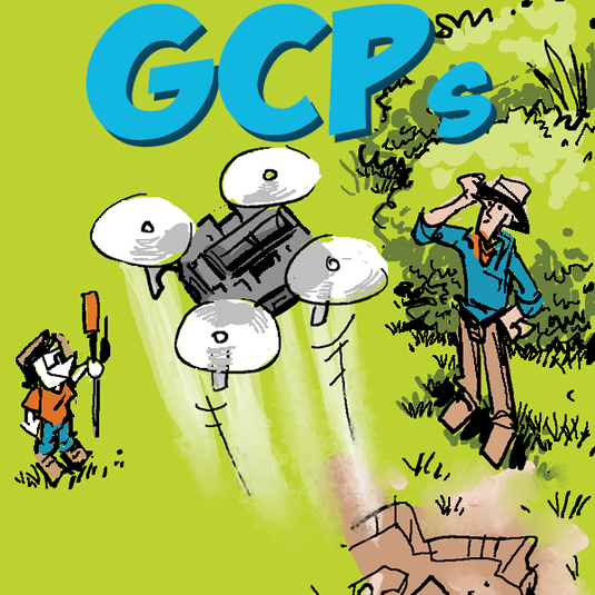

Hitting the Target: Setting Ground Control with Bad Elf Flex
Setting ground control targets with the Bad Elf Flex GNSS significantly enhances the accuracy of drone data collection. This method ensures aerial survey data is precise, reliable, and aligns with real-world coordinates.
-
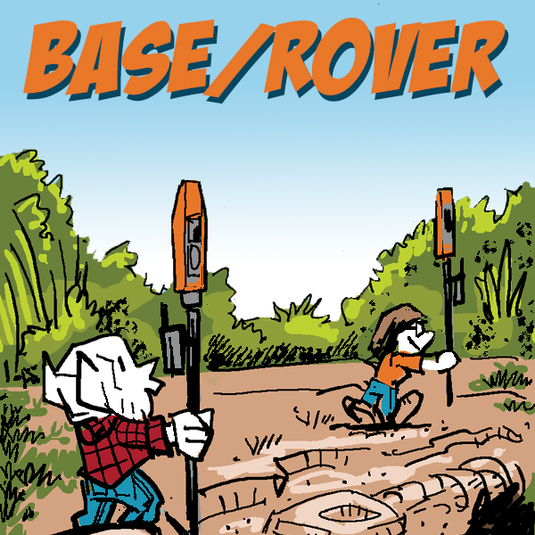
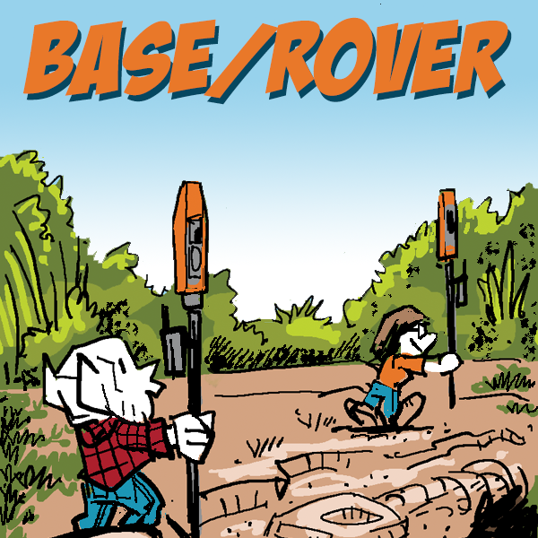
Bad Elf’s Flex Base & Rover Solution
The Bad Elf Flex Base and Rover solution leverages advanced GNSS technology to ensure superior positioning, increasing reliability and accuracy in diverse and challenging environments. -

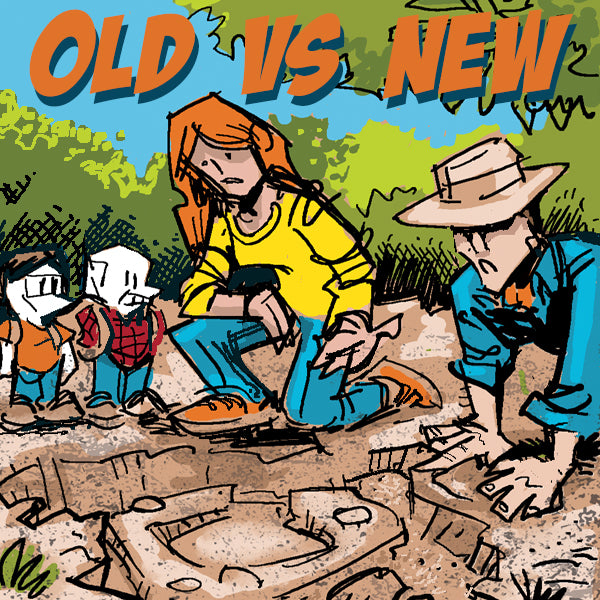
Evolution of Land Survey Techniques - From Analog to Digital
The Bad Elf Flex and Flex Mini GNSS receivers epitomize the transition to digital surveying, offering unparalleled precision, efficiency, and ease of use for modern surveying professionals. These devices support multiple GNSS constellations and provide real-time correction capabilities, revolutionizing land surveying and GIS applications. -
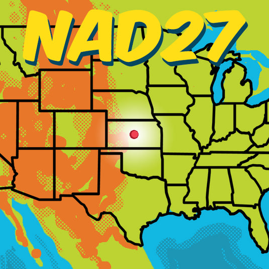

NAD27 - We’re Not in Kansas Anymore
Embark on a geodetic odyssey from the heart of Kansas to the cutting-edge of mapping technology. Discover the saga of NAD27, a foundational datum born from meticulous triangulation and an unassuming point in Meades Ranch, Kansas. Witness its evolution into NAD83, enhancing precision with advanced ellipsoids and satellite data, and anticipate the future with the upcoming NATRF2022. -


Geoprocessing Tool: Buffering in GIS and Land Surveying
Buffering in GIS (Geographic Information Systems) and land surveying is a geoprocessing operation that involves creating a zone or area around a geographic feature. -


Land Survey Magic with Apglos Survey Wizard and Bad Elf
The integration of Apglos Survey Wizard with Bad Elf GPS offers a cost-effective, user-friendly, and highly accurate solution for land surveying, making it a dream combination for professionals seeking efficiency and precision.
-


Bad Elf GPS Solutions: Be the Best Elf You Can Be!
GIS, land surveying, engineering, architecture, utility design – Bad Elf GPS solutions help you ace them all!


