Access Denied
IMPORTANT! If you’re a store owner, please make sure you have Customer accounts enabled in your Store Admin, as you have customer based locks set up with EasyLockdown app. Enable Customer Accounts

Newsletter
accuracy
affordable
Bad Elf
base/rover
Bluetooth
CORS
data collection
DEC2023
Esri
FEB2024
Field Maps
Flex
Flex Mini
frequency
GCP
geospatial
gis
GNSS
GNSS receivers
GPS
GPS data collection
ground control
JAN2024
Mapping
MAY2023
Modernization
Newsletter
oct2024
portable
RTK
signals
survey
Surveying Technology
Webmap
Categories
- All topics
- 360i
- 3d
- 3D digital twin
- 3D modeling
- Abraham Lincoln
- accessory
- accuracy
- Accurate Survey Data
- ADA
- AEC
- aerial
- affordable
- African American
- Agents of Discovery
- Agricultural optimization
- American
- analysis
- Android
- Apglos Survey Wizard
- apps
- APRIL2024
- APRIL2026
- ArcGIS
- architecture
- As-built
- ASCE
- Asset inventory
- Asset management
- AUG2023
- augmented reality
- avenza
- aviation
- awareness
- Bad Elf
- Bad Elf GPS
- base
- base and rover
- base/rover
- Bluetooth
- Brain Processes
- breaks
- Broad Street pump
- buffer
- bug fixes
- CAD
- Cartography
- cholera outbreak
- Christmas
- Clarice Starling
- Cognitive Maps
- Comic
- community
- Compliance
- Conference
- constellations
- construction
- construction professionals
- consultation
- coordinate systems
- CORS
- Cost Effective Surveying
- Cost Savings
- Custom GIS Solutions
- Custom Integration
- data collection
- data visualization
- datum
- DEC2023
- DEC2024
- Decision-making
- Design with Nature
- Digital Asset Mapping
- Digital delivery
- digital twin
- Dinosaur fossils
- Drone
- drones
- Ecological planning
- Ecology
- Economics
- Education
- Efficient Land Surveys
- Electric utility
- Ellen Churchill Semple
- enablement
- engineering
- environmental determinism
- Environmental stewardship
- epidemiology
- equity
- error
- Esri
- Esri ArcGIS
- Extreme Accuracy
- Facility management
- fatalities
- FEB2024
- FEB2026
- Field Maps
- field workers
- Fieldwork safety
- Firmware
- Flex
- Flex Mini
- ForeFlight
- Fossil location
- frequency
- fuel gauge
- GCP
- GCT
- Geodesy
- geography
- geoid
- geomatics
- geoprocessing
- geospatial
- Geospatial Data
- Geospatial Enablement Team
- geospatial professional
- Geospatial technology
- GET
- gis
- GIS implementation
- GIS solutions
- GIS Training
- GNSS
- GNSS receivers
- GPS
- GPS data collection
- GPS Integration
- Grid
- Ground
- ground control
- ground control targets
- Ground Penetrating Radar
- Halloween
- hazards
- high accuracy
- High Precision Survey
- high-accuracy
- history
- infrastructure
- injuries
- injury
- Inventor
- iOS
- JAN2024
- JAN2025
- jingle bells
- John Snow
- JULY2023
- JUNE2023
- JUNE2024
- JUNE2025
- land surveying
- Land surveyor
- land surveyors
- Land use
- Landscape architecture
- Laser
- Laser rangefinder
- LasterTech
- Layer cake analysis
- legacy
- LiDAR
- Local government
- LTI TruPulse 360i
- map
- Mapping
- MAR2025
- MARCH2024
- math
- mathematics
- MAY2023
- MAY2024
- May2025
- Mental Maps
- miasma theory
- Mock location
- Modernization
- Muhammad al-Idrisi
- NAD27
- NAD83
- NATRF2022
- navigation
- NDVI
- Newsletter
- NIR
- NMEA
- NOV2023
- NOV2024
- NTRIP
- oct2023
- oct2024
- OCT2025
- Offline
- Offset
- Operations Optimization
- paddle
- pairing
- Paleontological fieldwork
- Paleontology
- pilot
- Pix4D
- PIX4D Catch
- Pix4Dcatch
- planes
- planning
- portable
- PPE
- Precise Mapping
- precision
- Precision Mapping
- President
- prevention
- protocols
- public funding
- public health
- public works
- quickcapture
- radio
- Rangefinder
- real-time
- real-time data collection
- Real-time monitoring
- reality capture
- Regulatory compliance
- remote data collection
- right of way
- Roger Tomlinson
- rover
- RTK
- Safety
- Safety Optimization
- safety tips
- satellite
- scanning
- SDK
- SEPT2023
- SEPT2024
- SEPT2025
- Sign Management Solution
- signals
- Simplified GIS
- Site survey package
- slope
- Small organizations
- solutions
- song
- Spatial analysis
- Spatial Data
- spatial mapping
- ssp
- STEM
- Stratigraphy
- support
- survey
- survey-grade
- survey123
- surveying
- Surveying Technology
- Sustainability design
- Tabula Rogeriana
- tool
- topographic maps
- topology
- total stations
- training
- Training solutions
- transition plan
- Tree Inventory
- Tree Management Solution
- Tribrach
- Tribrachasaur
- tron
- Urban Planning
- User Friendly Survey App
- utilities
- Utility App
- utility design
- Utility pole measurements
- UTM
- Vegetation
- Washington DC
- Webmap
- WGS-84
- women
- workforce
- workplace
- workplace safety
- world
-


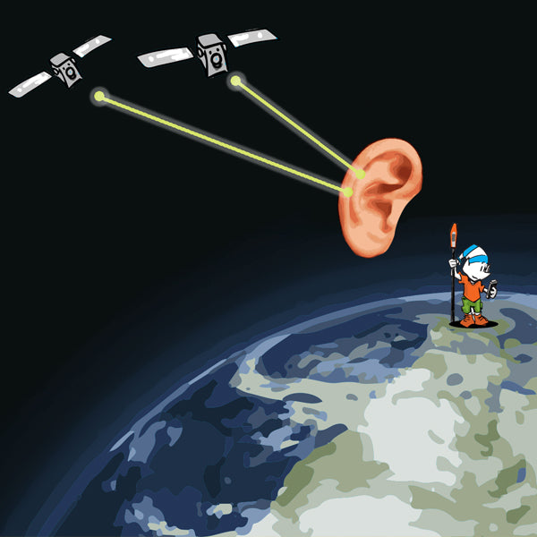
The Flexibility of Bad Elf’s RTN Webmap and RTK Corrections
 Bad Elf’s RTN Webmap is revolutionizing how professionals use real-time kinematic (RTK) corrections with GNSS systems like the Bad Elf Flex, bringing unparalleled precision to land surveying, mapping, and geospatial work across the United States. Here’s how it works and why this tool is crucial for your fieldwork.
 -


One Size Fits All: The Flex GNSS Family
The Bad Elf Flex family line of GNSS receivers meet all your various geospatial needs.
-
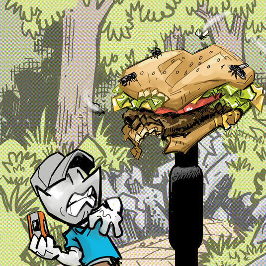
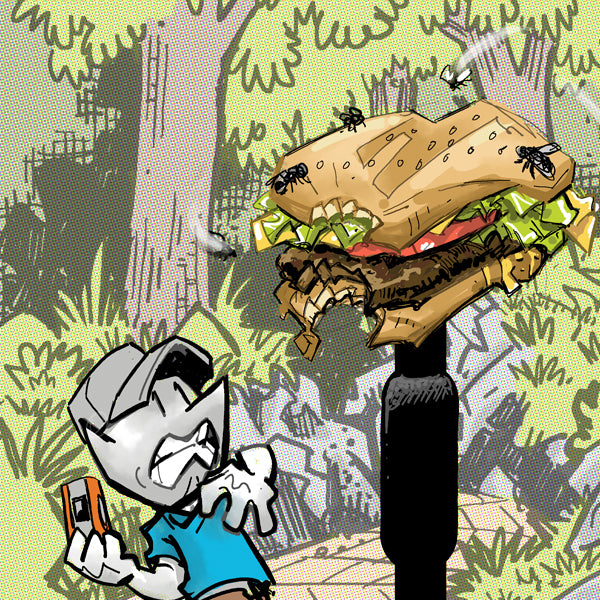
The Rise of GPS: From Burger Antennae to Pocket Rockets
From cheeseburger antennae to pocket rockets, GPS has come a long way. Gone are the days of agonizing waits and robot voices barking directions. Bad Elf's sleek, versatile units prove precision doesn't have to be bulky or break the bank. So, ditch the McRib-antennae and get ready to navigate the world, oyster and all, with a GPS in your pocket.
-


Bad Elf Flex Mini, there isn’t anything mini about it except the size!
Ditch bulky baggage and embrace the mighty mini: Bad Elf Flex Mini packs pro-grade geospatial precision into a pocket-sized powerhouse. -

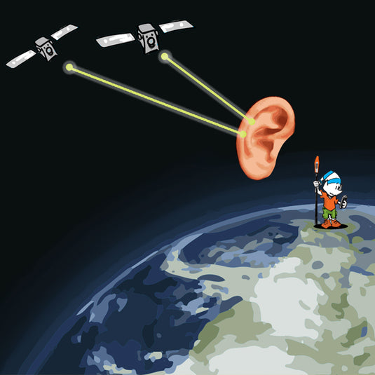
Navigating the Realm of High-Accuracy Engineering Data: A Foundational Guide
Learn the basics about datums, coordinate systems, and projections in this Bad Elf YouTube video. -
The Multi-Frequency GPS Receiver: A Bad Elf's Guide to Unparalleled Precision
In summary, a multi-frequency GPS receiver enhances the accuracy, reliability, and overall performance of GPS-based positioning by simultaneously processing signals from multiple frequency bands, making it well-suited for demanding applications that require high precision and resilience in challenging environments. -

Archaeology made easy with the Bad Elf Flex Base and Rover
The Bad Elf Flex GNSS Base and Rover is an excellent solution for archaeology projects due to its accuracy, price, and versatility. -


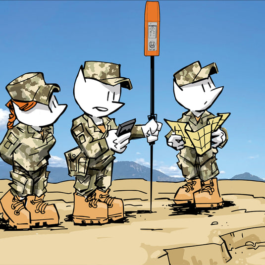
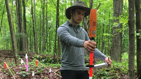
How to set ground control for drone operations
Setting ground control points (GCPs) is an essential step for achieving high-accuracy mapping drone flights. -
March 2023 Newsletter - HERE, HERE!
In this newsletter we cover topics that include
- Datums
- Custom Esri ArcGIS Fields for Field Maps and QuickCapture
- Bad Elf Ortho Everywhere tool
- Tilt filtered points


Invalid password
Enter
Use left/right arrows to navigate the slideshow or swipe left/right if using a mobile device