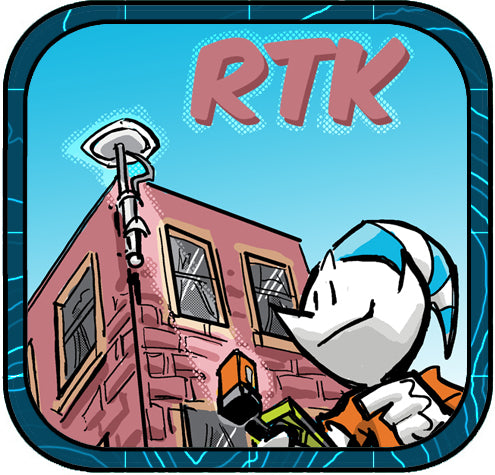
The Flexibility of Bad Elf’s RTN Webmap and RTK Corrections

The Flexibility of Bad Elf's RTN Webmap and RTK Corrections
Bad Elf’s RTN Webmap is revolutionizing how professionals use real-time kinematic (RTK) corrections with GNSS systems like the Bad Elf Flex, bringing unparalleled precision to land surveying, mapping, and geospatial work across the United States. Here’s how it works and why this tool is crucial for your fieldwork.
What is RTN?
Real Time Networks (RTNs) are systems of continuously operating reference stations (CORS) that provide real-time corrections for Global Navigation Satellite Systems (GNSS) data, like GPS. They offer centimeter-level positioning accuracy by transmitting correction data to users in the field. RTNs are crucial for applications such as surveying, construction, and agriculture.
What is GNSS?
Global Navigation Satellite Systems (GNSS) are satellite-based technologies that provide positioning, navigation, and timing services. Devices like the Bad Elf Flex leverage GNSS to offer location accuracy. However, on their own, GNSS systems have inherent errors due to factors like satellite clock discrepancies, atmospheric delays, and signal multipath errors.
Why RTK Matters
To achieve the high accuracy required for land surveying and mapping, professionals turn to Real-Time Kinematic (RTK) corrections. RTK enhances GNSS accuracy by providing real-time corrections from a network of ground-based reference stations, called Continuously Operating Reference Stations (CORS). This correction method ensures centimeter-level accuracy, transforming a GNSS receiver into a powerful tool for precise data collection.
The Bad Elf Flex pairs perfectly with RTK corrections, making it an essential device for surveyors, farmers, and construction professionals who need precise geospatial data. The Flex is a versatile GNSS receiver designed for high-precision geospatial data collection delivering centimeter-level accuracy for surveying, mapping, and agricultural applications.
For example, if you are mapping a parcel of land, standard GNSS might give you a margin of error up to a meter. By applying RTK corrections from a local CORS station, you reduce that error margin to just a few centimeters, which is critical when every inch matters.
The RTN Webmap: A Game-Changer
Bad Elf’s RTN Webmap is an indispensable tool for anyone who uses GNSS technology in the U.S. It catalogs the RTK systems of every state and provides real-time data on CORS locations, network status, and specifications for modernization. Each RTK network's contact information is available at your fingertips, and no other map in America offers such comprehensive and interactive features.
One standout feature of the RTN Webmap is its RTK baseline length tool, which helps you estimate the distance from your project area to the nearest CORS station. This is a crucial factor in determining the accuracy of RTK corrections for your work. By minimizing the baseline length, you enhance the reliability of the data, ensuring that you achieve optimal spatial accuracy.
Why This Matters
As the United States continues to invest in smart cities and emerging technologies such as autonomous vehicles, the modernization of RTK networks is critical. RTK corrections are not only vital in land surveying but are becoming a foundation for geospatial data in next-gen urban infrastructure. Without accurate RTK networks, these technologies can’t perform at their best.
That’s why Bad Elf is calling for every state to modernize their RTK networks. It's essential to keep these systems up to date to support innovations in transportation, urban planning, and beyond.
To learn more about how RTK networks impact your work and to get involved in advocating for their modernization, contact get@bad-elf.com. The future of geospatial accuracy is now—don’t miss it!


Dr. Smilovsky is the Geospatial Solutions Director for Bad Elf, a GNSS technologies company. Dr S is a faculty member at Arizona State University teaching various GIS and design classes. He is a certified Geographic Information Systems Professional, a certified Arborist, and a Part 107 certified UAV pilot. As a geospatial evangelist, custom geospatial solutions provider, and geographic researcher Dr. S is widely versed in all things geodetic. He is a proud Geoholic!