Field-Ready and Offline: Avenza Maps + Bad Elf GPS = Smart Mapping Mad

Field-Ready and Offline: Avenza Maps + Bad Elf GPS = Smart Mapping Made Simple
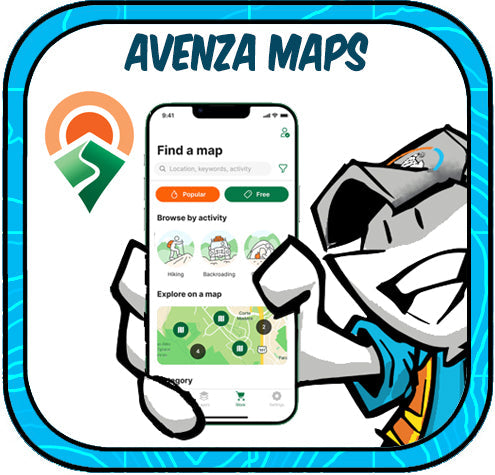
Avenza Maps empowers professionals to navigate and collect data in remote locations—without relying on a cell signal. This intuitive mobile app allows users to load custom GeoPDF and GeoTIFF maps onto your iOS or Android phone or tablet for fully offline, GPS-enabled fieldwork. Whether you're mapping trails, utility assets, or emergency flood zones, Avenza turns your phone or tablet into a robust, geospatial data collector!

Who Uses Avenza Maps?
-
Foresters & Park Rangers
-
Utility Inspectors
-
Disaster Response Teams
-
Surveyors & Environmental Scientists
-
Construction Crews
- Military & Tactical Operations
From backcountry trail assessments to emergency infrastructure mapping, Avenza Maps offers a reliable and easy-to-use platform for capturing georeferenced photos, field notes, waypoints, and tracks all without a cellular network.
Enter Bad Elf: High-Accuracy GPS Without the Complexity
Bad Elf GPS receivers provide professional-grade location accuracy that goes far beyond what your phone’s built-in GPS can deliver. And they pair seamlessly with Avenza Maps via Bluetooth.
🔹 Bad Elf Flex Mini
-
Compact, lightweight, and rugged
-
Pairs easily with iOS, Android, or Windows
-
Submeter accuracy out of the box
-
Centimeter-level accuracy with RTK correction (Flex Mini Extreme)
- Ideal for: utility mapping, environmental monitoring, trail audits, flood assessments
🔹 Bad Elf Flex
- Full-size, survey-capable GNSS receiver
-
Delivers meter accuracy or centimeter with RTK
-
Ideal for: construction QA, asset inventory, subsurface utility mapping, land parcel updates
- Includes internal logging, multiple correction options, and flexible workflows for GIS and CAD users
A Powerful, Affordable Integration
Avenza Maps + Bad Elf GPS unlocks serious capability for organizations that need to collect accurate geospatial data without breaking the bank. Together, they offer:
✅ Offline, high-accuracy mapping
✅ No recurring software fees
✅ Flexible licensing and device compatibility
✅ Ease of use in the field—minimal training needed
Let’s Get Mapping
Looking to build a reliable, affordable, and professional-grade field mapping workflow? Reach out to get@bad-elf.com to learn how the Avenza & Bad Elf combo can optimize your geospatial data collection.


Dr. Smilovsky is the Geospatial Solutions Director for Bad Elf, a GNSS technologies company. Dr S is a faculty member at Arizona State University teaching various GIS and design classes. He is a certified Geographic Information Systems Professional, a certified Arborist, and a Part 107 certified UAV pilot. As a geospatial evangelist, custom geospatial solutions provider, and geographic researcher Dr. S is widely versed in all things geodetic. He is a proud Geoholic!