News
Categories
-


The Bad Elf Flex App Spring Release

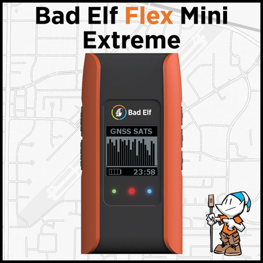
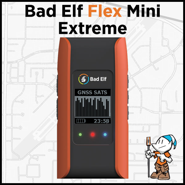
Instant accuracy isn’t just a promise—it’s the new standard. With Bad Elf Flex RTK‑capable receivers, GIS professionals can capture centimeter‑level precision without slowing down their workflow. The latest Flex Extreme and Mini Extreme models deliver rugged reliability and seamless connectivity, empowering teams to move from field to finish faster than ever. Whether you’re mapping assets, validating data, or syncing with your favorite NTRIP service, Bad Elf turns complex GNSS into a smarter, simpler workflow—so you spend less time troubleshooting and more time getting results.
-


Texas DIR Awards Bad Elf Contract for High‑Accuracy GNSS and GIS Solutions
Bad Elf secured a TX DIR contract (DIR-CPO-5995) for high-accuracy GNSS/GIS solutions. TX public sector can now directly buy Bad Elf products
-


ProStar and Bad Elf GNSS Announce Global Distribution Partnership
GRAND JUNCTION, Colo., Oct. 15, 2025 (GLOBE NEWSWIRE) -- ProStar® Holdings Inc. (“ProStar®” or “the Company”) (TSXV: MAPS, OTCQX: MAPPF, FSE: 5D00), developer of PointMan® Precision Mapping Solutions® and LinQD™ enterprise integration platform,... -


Bad Elf and Pix4D Launch Flex Mini Terrestrial Scanning Solution
Bad Elf and Pix4D have announced the launch of an integrated solution that brings high-accuracy 3D scanning to the palm of your hand. The Bad Elf Flex Mini Extreme GNSS receiver is now fully compatible with PIX4Dcatch, Pix4D’s mobile 3D scanning app, enabling field crews, inspectors, and asset managers to capture survey-grade 3D models using just a smartphone.
-

Bad Elf Launches Virtual Training Program for GIS Professionals
Bad Elf launches Pioneer Package: a virtual training program for GIS professionals. Learn high-accuracy GPS/GIS data collection with Bad Elf hardware.
-

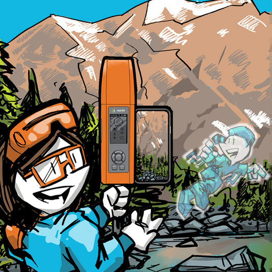
Mapped Out - GIS Services, LLC Announcement
Mapped Out - GIS Services has partnered with Bad Elf to revolutionize geospatial data collection by combining advanced GIS strategies with high-accuracy GNSS technology. This collaboration enhances workflows such as field data collection, asset inventory management, and inspections, delivering unmatched accuracy, efficiency, and value to geospatial professionals. By integrating their strengths, the partnership aims to protect critical infrastructure, optimize operations, and support informed decision-making across industries in Ohio and beyond.
-


Bad-Elf Launches 5-Year RTK Service for its line of Flex and Flex Mini GPS Receivers using GEODNET
Bad Elf and GEODNET, the world’s largest RTK network, announce the launch of an exclusive 5-year RTK service tailored specifically for Bad Elf GPS receivers. -


PIX4Dcatch now compatible with Bad Elf Flex
Pix4D and Bad Elf team up to deliver precise 3D scanning solution for AEC professionals, combining smartphone tech with high-accuracy GNSS.
3D mobile scanning solution, PIX4Dcatch, is now fully compatible with the Bad Elf Flex® GNSS receiver. PIX4Dcatch and Bad Elf Flex enables Architecture, Engineering, and Construction (AEC) professionals to achieve accurate and efficient 3D scanning using just a smartphone. -


Demystifying Public RTK Networks
 RTK, or Real-Time Kinematics, is a technology that offers unparalleled precision in positioning, typically accurate to within a couple of centimeters. This level of accuracy, often referred to as "survey-grade," has traditionally been reserved for specialized applications due to the high cost and complexity of the required equipment. Historically, users needed to set up and maintain their own base stations to utilize RTK.
 -


Fresh Eyes, Proven Expertise: Why We Value GISP Certification at Bad Elf
The GISP program emphasizes ongoing professional development. This commitment to continuous learning benefits everyone. Continuing education requirements encourage our GISP professionals to stay sharp, refine their skills, and explore new technologies. -
Bad Elf announces Point One Navigation, Inc. Polaris GNSS corrections available for Bad Elf Flex® Mini Extreme
Bad Elf, LLC and Point One Navigation, Inc. extend their relationship providing nationwide GNSS corrections services for the Bad Elf Flex® Mini Extreme -
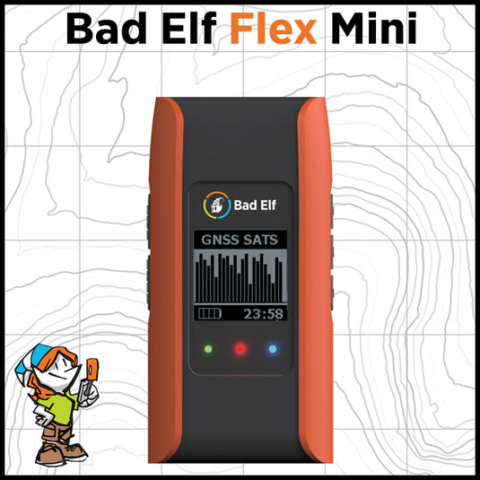

Bad Elf Launches Flex® Mini High-Accuracy Bluetooth GNSS Receiver
Flex Mini provides geospatial professionals with an unmatched blend of location accuracy, reliability, deployability, usability, design, and value.


