
Newsletter
Categories
- 360i
- 3d
- 3D digital twin
- 3D modeling
- Abraham Lincoln
- accessory
- accuracy
- Accurate Survey Data
- ADA
- AEC
- aerial
- affordable
- African American
- Agents of Discovery
- Agricultural optimization
- American
- analysis
- Android
- Apglos Survey Wizard
- apps
- APRIL2024
- APRIL2026
- ArcGIS
- architecture
- As-built
- ASCE
- Asset inventory
- Asset management
- AUG2023
- augmented reality
- avenza
- aviation
- awareness
- Bad Elf
- Bad Elf GPS
- base
- base and rover
- base/rover
- Bluetooth
- Brain Processes
- breaks
- Broad Street pump
- buffer
- bug fixes
- CAD
- Cartography
- cholera outbreak
- Christmas
- Clarice Starling
- Cognitive Maps
- Comic
- community
- Compliance
- Conference
- constellations
- construction
- construction professionals
- consultation
- coordinate systems
- CORS
- Cost Effective Surveying
- Cost Savings
- Custom GIS Solutions
- Custom Integration
- data collection
- data visualization
- datum
- DEC2023
- DEC2024
- Decision-making
- Design with Nature
- Digital Asset Mapping
- Digital delivery
- digital twin
- Dinosaur fossils
- Drone
- drones
- Ecological planning
- Ecology
- Economics
- Education
- Efficient Land Surveys
- Electric utility
- Ellen Churchill Semple
- enablement
- engineering
- environmental determinism
- Environmental stewardship
- epidemiology
- equity
- error
- Esri
- Esri ArcGIS
- Extreme Accuracy
- Facility management
- fatalities
- FEB2024
- FEB2026
- Field Maps
- field workers
- Fieldwork safety
- Firmware
- Flex
- Flex Mini
- ForeFlight
- Fossil location
- frequency
- fuel gauge
- GCP
- GCT
- Geodesy
- geography
- geoid
- geomatics
- geoprocessing
- geospatial
- Geospatial Data
- Geospatial Enablement Team
- geospatial professional
- Geospatial technology
- GET
- gis
- GIS implementation
- GIS solutions
- GIS Training
- GNSS
- GNSS receivers
- GPS
- GPS data collection
- GPS Integration
- Grid
- Ground
- ground control
- ground control targets
- Ground Penetrating Radar
- Halloween
- hazards
- high accuracy
- High Precision Survey
- high-accuracy
- history
- infrastructure
- injuries
- injury
- Inventor
- iOS
- JAN2024
- JAN2025
- jingle bells
- John Snow
- JULY2023
- JUNE2023
- JUNE2024
- JUNE2025
- land surveying
- Land surveyor
- land surveyors
- Land use
- Landscape architecture
- Laser
- Laser rangefinder
- LasterTech
- Layer cake analysis
- legacy
- LiDAR
- Local government
- LTI TruPulse 360i
- map
- Mapping
- MAR2025
- MARCH2024
- math
- mathematics
- MAY2023
- MAY2024
- May2025
- Mental Maps
- miasma theory
- Mock location
- Modernization
- Muhammad al-Idrisi
- NAD27
- NAD83
- NATRF2022
- navigation
- NDVI
- Newsletter
- NIR
- NMEA
- NOV2023
- NOV2024
- NTRIP
- oct2023
- oct2024
- OCT2025
- Offline
- Offset
- Operations Optimization
- paddle
- pairing
- Paleontological fieldwork
- Paleontology
- pilot
- Pix4D
- PIX4D Catch
- Pix4Dcatch
- planes
- planning
- portable
- PPE
- Precise Mapping
- precision
- Precision Mapping
- President
- prevention
- protocols
- public funding
- public health
- public works
- quickcapture
- radio
- Rangefinder
- real-time
- real-time data collection
- Real-time monitoring
- reality capture
- Regulatory compliance
- remote data collection
- right of way
- Roger Tomlinson
- rover
- RTK
- Safety
- Safety Optimization
- safety tips
- satellite
- scanning
- SDK
- SEPT2023
- SEPT2024
- SEPT2025
- Sign Management Solution
- signals
- Simplified GIS
- Site survey package
- slope
- Small organizations
- solutions
- song
- Spatial analysis
- Spatial Data
- spatial mapping
- ssp
- STEM
- Stratigraphy
- support
- survey
- survey-grade
- survey123
- surveying
- Surveying Technology
- Sustainability design
- Tabula Rogeriana
- tool
- topographic maps
- topology
- total stations
- training
- Training solutions
- transition plan
- Tree Inventory
- Tree Management Solution
- Tribrach
- Tribrachasaur
- tron
- Urban Planning
- User Friendly Survey App
- utilities
- Utility App
- utility design
- Utility pole measurements
- UTM
- Vegetation
- Washington DC
- Webmap
- WGS-84
- women
- workforce
- workplace
- workplace safety
- world
-


Digital Twinning with the Bad Elf Flex and PIX4Dcatch
 The use of the Bad Elf Flex Extreme and PIX4Dcatch enhances a development project by employing digital twin technology and advanced GIS and CAD integrations for precise mapping, real-time construction monitoring, and efficient project management through innovative surveying and digital delivery methods.
 -


Roger Tomlinson: The Father of GIS
Roger Tomlinson, known as the father of Geographic Information Systems (GIS), revolutionized the way we understand and interact with spatial data. Born in Cambridge, England, in 1933, Tomlinson pursued geography and earned degrees from multiple institutions, including Nottingham University, McGill University, and the University of London. His academic focus was primarily on geography, geology, and land use, which laid the foundation for his groundbreaking work. -
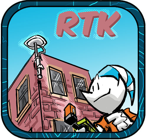

The Flexibility of Bad Elf’s RTN Webmap and RTK Corrections
Bad Elf’s RTN Webmap is revolutionizing how professionals use real-time kinematic (RTK) corrections with GNSS systems like the Bad Elf Flex, bringing unparalleled precision to land surveying, mapping, and geospatial work across the United States. Here’s how it works and why this tool is crucial for your fieldwork. -
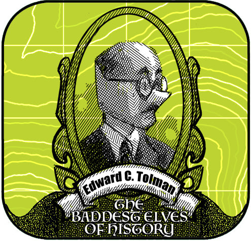

The Baddest Elves in History: Edward C Tolman
Today, GIS works like our brain's mental maps. Just as rats navigate mazes, GIS tools help us interpret spatial data, driving smarter decisions in urban planning, ecology, and economics. Understanding how we map environments leads to designing better communities and solving modern challenges. -
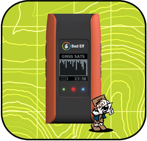

Bad Elf Flex App and Firmware Updates
We're excited to announce the Bad Elf Flex utility app version 1.3.4, now available on the Apple App Store and Google Play. This update offers important bug fixes and new features for both iOS and Android, including improved data collection checklists, a URL-based method for loading settings, and control over GPX export formats. Android users gain mock location support, enhanced NTRIP and RTK corrections, and tools for survey-grade accuracy. Firmware updates for Flex and Flex Mini also improve Bluetooth connectivity and support RTCM corrections via USB.
-


Esri User Conference - 2024
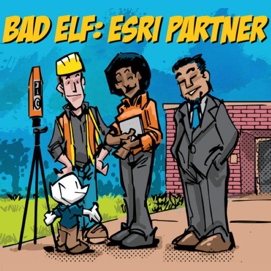
Bad Elf made a big splash at the Esri User Conference 2024, showcasing high-accuracy GPS solutions like the Bad Elf Flex and Flex Mini. The Flex delivers centimeter-level precision with RTK support and multi-band GNSS capabilities, while the Flex Mini offers sub-meter accuracy, perfect for mobile GIS applications. The team enjoyed meeting customers, taking Bad Elfies, and discussing innovative geospatial solutions. Inspired by the plenary session, Bad Elf is excited for the future of GIS. Check out our products and more on the Bad Elf website and webstore. -
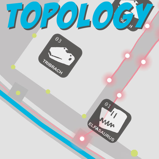

Dangling Nodes Say What!?
Understanding topology in geography is crucial for ensuring accurate spatial relationships between features, preventing common errors like dangling nodes, overlapping polygons, and misaligned boundaries. By fixing these errors, we create reliable maps that enhance navigation, planning, and data analysis, making geographic data more effective and trustworthy.
-


The Epic Tale of the Tribrachasaur
In ancient times, the legendary Tribrachasaur roamed the land, embodying the precision and stability of a modern tribrach used by land surveyors. With its three mighty legs ensuring perfect balance and eyes capable of capturing every detail, it helped tribes map their territories with unparalleled accuracy. Today, surveyors honor the Tribrachasaur's legacy by striving for the highest standards of precision and integrity in their craft.
-


Safety is No Elf’ing Accident
Workplace safety remains a critical concern, with alarming statistics highlighting the risks. In 2020, the U.S. saw 4,764 fatal work injuries and 2.7 million nonfatal injuries, costing businesses over $171 billion annually. The construction industry, despite employing only 6% of workers, accounted for 20% of fatalities, while young workers and those in manufacturing face higher injury rates. Proper safety training could prevent many of these incidents, emphasizing the need for robust safety protocols and training programs.
-


Work Smarter, Not Harder
Esri Workforce is an effective tool for managing field operations in facility management, optimizing task assignments, and enhancing communication. It integrates seamlessly with other Esri apps and high-accuracy GPS devices like Bad Elf GNSS receivers, ensuring precise data for critical tasks. Despite some costs and connectivity dependencies, its real-time updates and user-friendly interface make it a top choice for improving efficiency and coordination.
-


Facility Management with Bad Elf GNSS and Esri ArcGIS Solutions
Simplify facility management tasks with the powerful combination of Bad Elf GNSS receivers and Esri ArcGIS preconfigured solutions. From accurate data collection to real-time monitoring, these tools streamline workflows and enhance decision-making processes, making facility management more efficient than ever before.
-

Enhancing Accuracy with ESRI ArcGIS and High-Accuracy GNSS Receivers
In the realm of land surveying, traditional paper methods are giving way to digital innovations like ESRI ArcGIS and high-accuracy GNSS receivers. By integrating ArcGIS with GNSS technology, surveyors can achieve unmatched precision and efficiency. This synergy streamlines data collection, providing real-time insights and improving overall data integrity. Embrace the future of land surveying with ESRI ArcGIS and GNSS receivers, where accuracy and efficiency redefine the landscape of the industry.


