Access Denied
IMPORTANT! If you’re a store owner, please make sure you have Customer accounts enabled in your Store Admin, as you have customer based locks set up with EasyLockdown app. Enable Customer Accounts
News
accuracy
Agents of Discovery
Asset inventory management
Bad Elf
BIM
Bluetooth
Collector for ArcGIS
construction
corrections
Critical infrastructure
data collection
DGPS
Drone2Map
education
Esri
Extreme Accuracy
Field data collection
Field Maps
Flex
Flex Mini
Game
GCP
geospatial
Geospatial data
Geospatial professionals
GIS
GIS solutions
GIS Training
gisp
GNSS
GNSS receivers
gnss surveyor
GPS
GPS data collection
ground control
High Precision Survey
high-accuracy
High-accuracy GPS
Infrastructure management
ios
JAN2025
Laser
launch
Learning
LiDAR
Mapping
marketing
news
NTRIP
Ohio
orthoimagery
phantom
pioneer
PIX4D Catch
Pix4Dcatch
pointman
PointOne Navigation
post-processing
prostar
RINEX
rtcm
RTK
SBAS
scanning
Survey
training
Training solutions
update
URISA
Vendor
Categories
- accuracy
- Agents of Discovery
- Asset inventory management
- Bad Elf
- BIM
- Bluetooth
- Collector for ArcGIS
- construction
- corrections
- Critical infrastructure
- data collection
- DGPS
- Drone2Map
- education
- Esri
- Extreme Accuracy
- Field data collection
- Field Maps
- Flex
- Flex Mini
- Game
- GCP
- geospatial
- Geospatial data
- Geospatial professionals
- GIS
- GIS solutions
- GIS Training
- gisp
- GNSS
- GNSS receivers
- gnss surveyor
- GPS
- GPS data collection
- ground control
- High Precision Survey
- high-accuracy
- High-accuracy GPS
- Infrastructure management
- ios
- JAN2025
- Laser
- launch
- Learning
- LiDAR
- Mapping
- marketing
- news
- NTRIP
- Ohio
- orthoimagery
- phantom
- pioneer
- PIX4D Catch
- Pix4Dcatch
- pointman
- PointOne Navigation
- post-processing
- prostar
- RINEX
- rtcm
- RTK
- SBAS
- scanning
- Survey
- training
- Training solutions
- update
- URISA
- Vendor
-
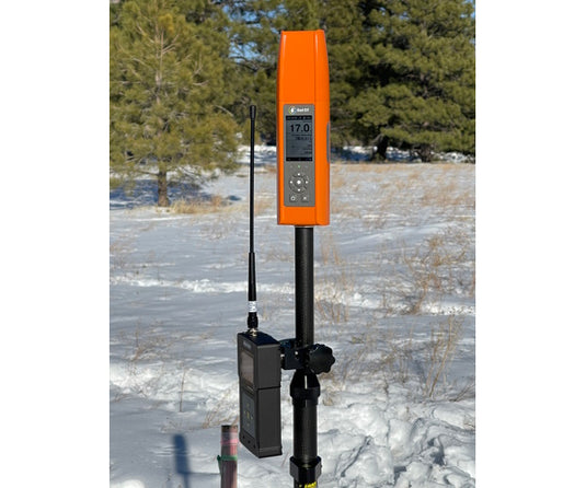
Bad Elf Unveils Base/Rover Feature for Survey-Grade GNSS Accuracy Anywhere
 The base/rover feature brings affordable centimeter-level accuracy to surveyors and geospatial professionals working anywhere in the world. Our solution consists of two Flex GNSS receivers and two UHF radios, allowing customers to perform high-accuracy field data collection in areas where traditional RTK corrections or cellular coverage is not available.
 -

Riverside Mfg., LLC announces partnership to assemble commercial GPS receivers in the U.S.
 Bad Elf committed to assembling the Bad Elf Flex here in America. Collaborating with a highly respected and trusted partner in Riverside Manufacturing directly benefits our customers.
 -
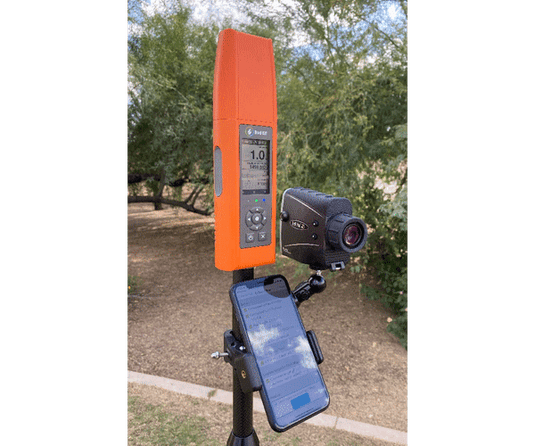
Bad Elf Introduces Laser Offset Workflow for Use in Esri ArcGIS Field Maps

Bad Elf, LLC and Laser Tech (LTI), announce an integrated laser offset workflow for acquiring high-accuracy field data in GNSS-challenged environments. The new workflow integrates Bad Elf and LTI hardware in collaboration with ArcGIS technology from Esri, the global leader in location intelligence.
-
Bad Elf and Point One partner to provide Polaris GNSS corrections for Bad Elf Flex®
 Bad Elf, LLC and Point One Navigation, Inc. announce a strategic relationship to provide nationwide GNSS corrections services compatible with the Bad Elf Flex®. As one of the first GNSS receiver partners to incorporate the Polaris GNSS corrections network, Bad Elf now offers a subscription service for nationwide RTK (real time kinematics) with centimeter-level positioning accuracy in open sky conditions. Learn more...
 -
Bad Elf Flex™ GNSS Receiver Adopts the Hemisphere Phantom™ OEM Module

Bad Elf Flex™ GNSS Receiver Adopts the Hemisphere Phantom™ OEM Module
The new Phantom modules deliver a 30% gain in battery life, superior performance, and scalable access to every GNSS constellation and signal
-
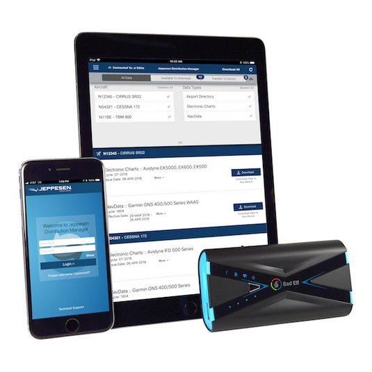
Bad Elf and Jeppesen Announce Strategic Partnership
 Boeing [NYSE: BA], through its subsidiary Jeppesen, today introduced a new mobile version of its Jeppesen Distribution Manager (JDM) flight data update technology, and announced a new strategic alliance with Bad Elf, a leading provider of aviation hardware and software solutions.
 -
Agents of Discovery and Bad Elf Announce Partnership
 Agents of Discovery and Bad Elf Announce Partnership Bringing Accessibility of GPS Receivers to Agents of Discovery Customers
 -
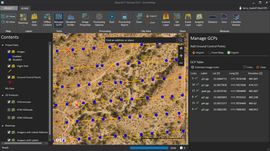
A Cost Effective Method for Capturing High Accuracy Ground Control
 A cost-effective method for high-accuracy data collection using a GNSS surveyor.
 -
Affordable High-Accuracy GPS for Education
 Obtaining high quality geographic information systems (GIS) data depends on effective field data collection. Poor field collection wastes labor resources and ultimately undermines the value of your GIS database.
GPS receiver capabilities range from survey grade (centimeter level accuracy) to consumer grade (~5-meter level accuracy). Of course, this demands a cost-benefit tradeoff ranging from free to prohibitively expensive for most educational institutions. Between these two extremes lies mapping grade GPS, which delivers 1 meter accuracy. -
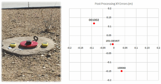
Announcement: New Bad Elf App and Firmware for the GNSS Surveyor Accessory (Post-Processing and DGPS Support)
 We designed and built the Bad Elf GNSS Surveyor to provide affordable mapping-grade accuracy of about 1 meter when used with SBAS and PPP. The Surveyor has reliably achieved accuracy...
Invalid password
Enter
Use left/right arrows to navigate the slideshow or swipe left/right if using a mobile device


