Access Denied
IMPORTANT! If you’re a store owner, please make sure you have Customer accounts enabled in your Store Admin, as you have customer based locks set up with EasyLockdown app. Enable Customer Accounts
News
Categories
- All topics
- accuracy
- Agents of Discovery
- Asset inventory management
- Bad Elf
- BIM
- Bluetooth
- Collector for ArcGIS
- construction
- corrections
- Critical infrastructure
- data collection
- DGPS
- Drone2Map
- education
- Esri
- Extreme Accuracy
- Field data collection
- Field Maps
- Flex
- Flex Mini
- Game
- GCP
- geospatial
- Geospatial data
- Geospatial professionals
- GIS
- GIS solutions
- GIS Training
- gisp
- GNSS
- GNSS receivers
- gnss surveyor
- GPS
- GPS data collection
- ground control
- High Precision Survey
- high-accuracy
- High-accuracy GPS
- Infrastructure management
- ios
- JAN2025
- Laser
- launch
- Learning
- LiDAR
- Mapping
- marketing
- news
- NTRIP
- Ohio
- orthoimagery
- phantom
- pioneer
- PIX4D Catch
- Pix4Dcatch
- pointman
- PointOne Navigation
- post-processing
- prostar
- RINEX
- rtcm
- RTK
- SBAS
- scanning
- Survey
- training
- Training solutions
- update
- URISA
- Vendor
-

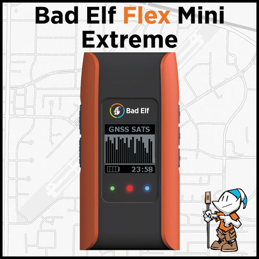
Bad Elf announces Point One Navigation, Inc. Polaris GNSS corrections available for Bad Elf Flex® Mini Extreme
 Bad Elf, LLC and Point One Navigation, Inc. extend their relationship providing nationwide GNSS corrections services for the Bad Elf Flex® Mini Extreme
 -

Bad Elf Unveils Base/Rover Feature for Survey-Grade GNSS Accuracy Anywhere
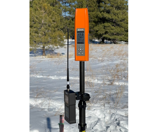
 The base/rover feature brings affordable centimeter-level accuracy to surveyors and geospatial professionals working anywhere in the world. Our solution consists of two Flex GNSS receivers and two UHF radios, allowing customers to perform high-accuracy field data collection in areas where traditional RTK corrections or cellular coverage is not available.
 -

Bad Elf Introduces Laser Offset Workflow for Use in Esri ArcGIS Field Maps

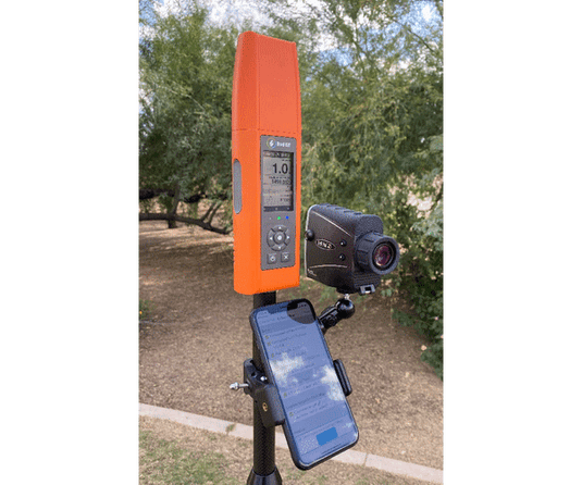
Bad Elf, LLC and Laser Tech (LTI), announce an integrated laser offset workflow for acquiring high-accuracy field data in GNSS-challenged environments. The new workflow integrates Bad Elf and LTI hardware in collaboration with ArcGIS technology from Esri, the global leader in location intelligence.
Invalid password
Enter
Use left/right arrows to navigate the slideshow or swipe left/right if using a mobile device


