News
Categories
-


ProStar and Bad Elf GNSS Announce Global Distribution Partnership
 GRAND JUNCTION, Colo., Oct. 15, 2025 (GLOBE NEWSWIRE) -- ProStar® Holdings Inc. (“ProStar®” or “the Company”) (TSXV: MAPS, OTCQX: MAPPF, FSE: 5D00), developer of PointMan® Precision Mapping Solutions® and LinQD™ enterprise integration platform,...
 -


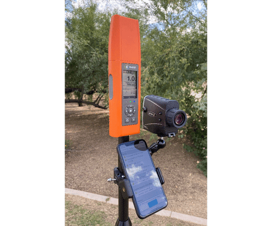
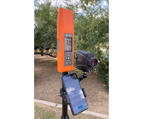
Bad Elf and Pix4D Launch Flex Mini Terrestrial Scanning Solution
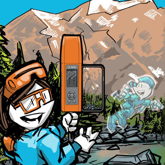
Bad Elf and Pix4D have announced the launch of an integrated solution that brings high-accuracy 3D scanning to the palm of your hand. The Bad Elf Flex Mini Extreme GNSS receiver is now fully compatible with PIX4Dcatch, Pix4D’s mobile 3D scanning app, enabling field crews, inspectors, and asset managers to capture survey-grade 3D models using just a smartphone.
-

Bad Elf Launches Virtual Training Program for GIS Professionals
Bad Elf launches Pioneer Package: a virtual training program for GIS professionals. Learn high-accuracy GPS/GIS data collection with Bad Elf hardware.
-

Mapped Out - GIS Services, LLC Announcement
Mapped Out - GIS Services has partnered with Bad Elf to revolutionize geospatial data collection by combining advanced GIS strategies with high-accuracy GNSS technology. This collaboration enhances workflows such as field data collection, asset inventory management, and inspections, delivering unmatched accuracy, efficiency, and value to geospatial professionals. By integrating their strengths, the partnership aims to protect critical infrastructure, optimize operations, and support informed decision-making across industries in Ohio and beyond.
-
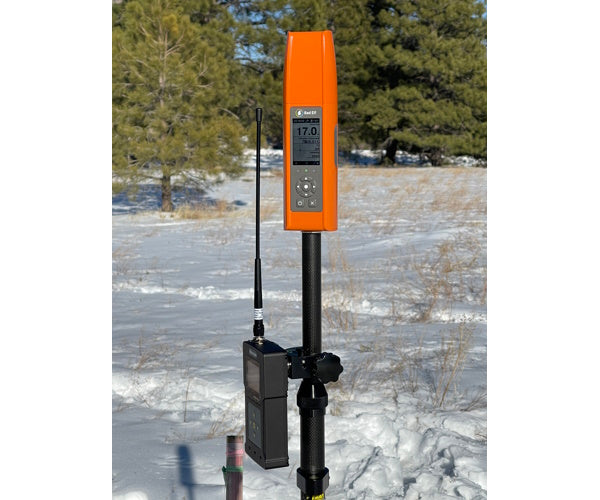
Bad Elf announces Point One Navigation, Inc. Polaris GNSS corrections available for Bad Elf Flex® Mini Extreme
Bad Elf, LLC and Point One Navigation, Inc. extend their relationship providing nationwide GNSS corrections services for the Bad Elf Flex® Mini Extreme -
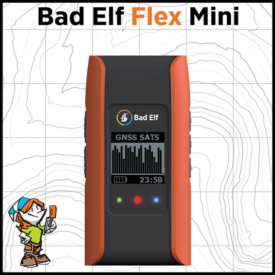

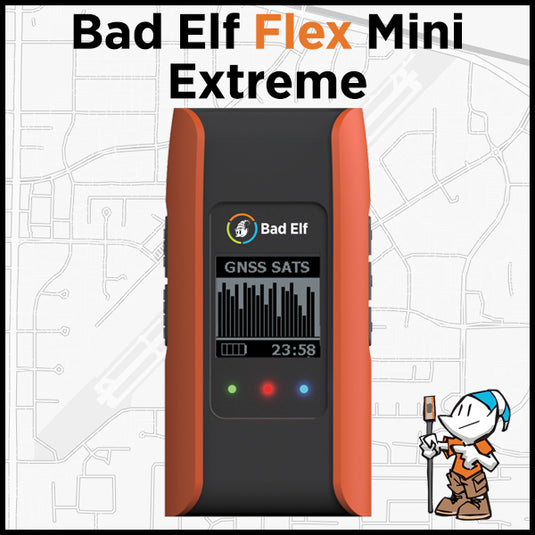
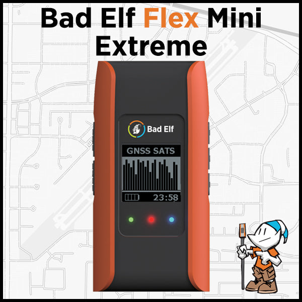
Bad Elf Launches Flex® Mini High-Accuracy Bluetooth GNSS Receiver
Flex Mini provides geospatial professionals with an unmatched blend of location accuracy, reliability, deployability, usability, design, and value. -


Megin Maps - Bad Elf Compatible
 Pair the Mergin Maps app with a Bad Elf GNSS unit and your team can accurately record, sync, and edit your geospatial data in real-time without information loss due to asynchronous or failed edits.
 -

Bad Elf Unveils Base/Rover Feature for Survey-Grade GNSS Accuracy Anywhere
The base/rover feature brings affordable centimeter-level accuracy to surveyors and geospatial professionals working anywhere in the world. Our solution consists of two Flex GNSS receivers and two UHF radios, allowing customers to perform high-accuracy field data collection in areas where traditional RTK corrections or cellular coverage is not available. -
Bad Elf Introduces Laser Offset Workflow for Use in Esri ArcGIS Field Maps
Bad Elf, LLC and Laser Tech (LTI), announce an integrated laser offset workflow for acquiring high-accuracy field data in GNSS-challenged environments. The new workflow integrates Bad Elf and LTI hardware in collaboration with ArcGIS technology from Esri, the global leader in location intelligence.
-
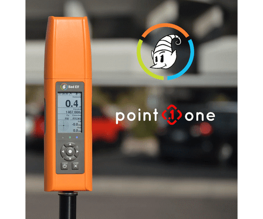
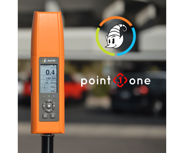
Bad Elf and Point One partner to provide Polaris GNSS corrections for Bad Elf Flex®
Bad Elf, LLC and Point One Navigation, Inc. announce a strategic relationship to provide nationwide GNSS corrections services compatible with the Bad Elf Flex®. As one of the first GNSS receiver partners to incorporate the Polaris GNSS corrections network, Bad Elf now offers a subscription service for nationwide RTK (real time kinematics) with centimeter-level positioning accuracy in open sky conditions. Learn more... -

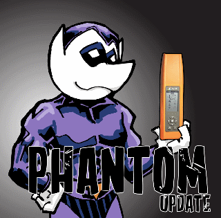
Bad Elf Flex™ GNSS Receiver Adopts the Hemisphere Phantom™ OEM Module
Bad Elf Flex™ GNSS Receiver Adopts the Hemisphere Phantom™ OEM Module
The new Phantom modules deliver a 30% gain in battery life, superior performance, and scalable access to every GNSS constellation and signal
-
Affordable High-Accuracy GPS for Education
Obtaining high quality geographic information systems (GIS) data depends on effective field data collection. Poor field collection wastes labor resources and ultimately undermines the value of your GIS database.
GPS receiver capabilities range from survey grade (centimeter level accuracy) to consumer grade (~5-meter level accuracy). Of course, this demands a cost-benefit tradeoff ranging from free to prohibitively expensive for most educational institutions. Between these two extremes lies mapping grade GPS, which delivers 1 meter accuracy.


