Access Denied
IMPORTANT! If you’re a store owner, please make sure you have Customer accounts enabled in your Store Admin, as you have customer based locks set up with EasyLockdown app. Enable Customer Accounts
News
Categories
- All topics
- accuracy
- Agents of Discovery
- Asset inventory management
- Bad Elf
- BIM
- Bluetooth
- Collector for ArcGIS
- construction
- corrections
- Critical infrastructure
- data collection
- DGPS
- Drone2Map
- education
- Esri
- Extreme Accuracy
- Field data collection
- Field Maps
- Flex
- Flex Mini
- Game
- GCP
- geospatial
- Geospatial data
- Geospatial professionals
- GIS
- GIS solutions
- GIS Training
- gisp
- GNSS
- GNSS receivers
- gnss surveyor
- GPS
- GPS data collection
- ground control
- High Precision Survey
- high-accuracy
- High-accuracy GPS
- Infrastructure management
- ios
- JAN2025
- Laser
- launch
- Learning
- LiDAR
- Mapping
- marketing
- news
- NTRIP
- Ohio
- orthoimagery
- phantom
- pioneer
- PIX4D Catch
- Pix4Dcatch
- pointman
- PointOne Navigation
- post-processing
- prostar
- RINEX
- rtcm
- RTK
- SBAS
- scanning
- Survey
- training
- Training solutions
- update
- URISA
- Vendor
-

Demystifying Public RTK Networks
 RTK, or Real-Time Kinematics, is a technology that offers unparalleled precision in positioning, typically accurate to within a couple of centimeters. This level of accuracy, often referred to as "survey-grade," has traditionally been reserved for specialized applications due to the high cost and complexity of the required equipment. Historically, users needed to set up and maintain their own base stations to utilize RTK.
 -

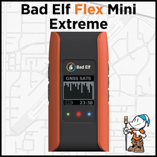
Bad Elf announces Point One Navigation, Inc. Polaris GNSS corrections available for Bad Elf Flex® Mini Extreme
 Bad Elf, LLC and Point One Navigation, Inc. extend their relationship providing nationwide GNSS corrections services for the Bad Elf Flex® Mini Extreme
Invalid password
Enter
Use left/right arrows to navigate the slideshow or swipe left/right if using a mobile device


