

PIX4D Cloud
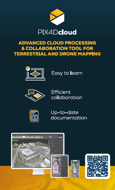
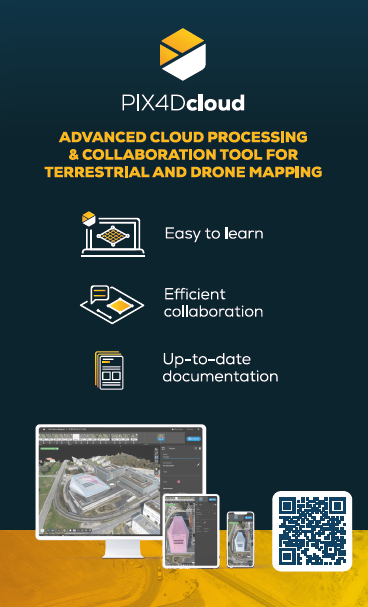
Online platform for mapping, augmented reality, and collaboration.
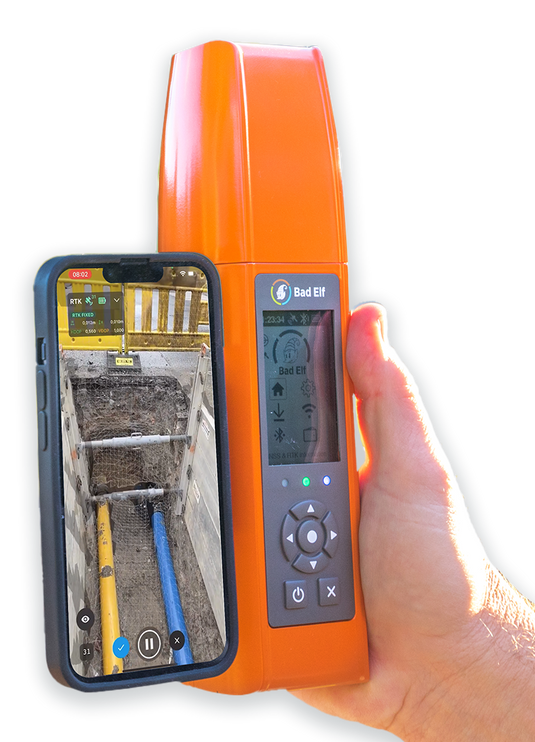
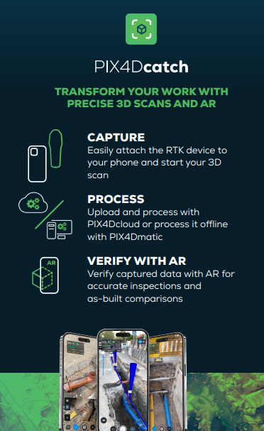
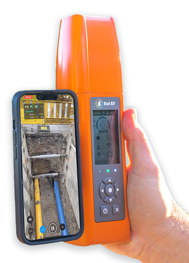
When Pix4Dcloud is combined with Pix4Dcatch they create the ultimate approval and documentations tool. Users can visualize anything in Pix4Dcloud including CAD, BIM, and GIS files, annotations, and scans.
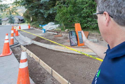
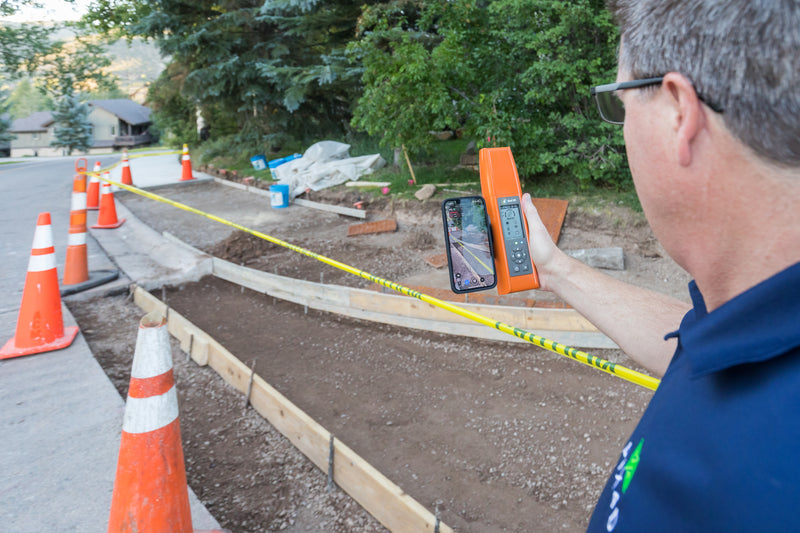
- Visualize design plans in the field before, during, and after construction.
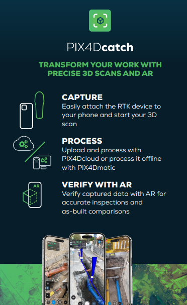
- Approve construction using AR design plans, scan and document with Catch for as-built mapping, and report in Pix4Dcloud.
- Send office markups and notes to field crews.
Software Included
PIX4D catch - Yearly
PIX4D cloud Advanced - Yearly
Training-PIX4Dcatch - cloud workflow online course
