


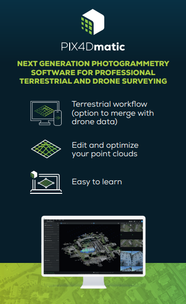

Pix4D Matic
Object Selection
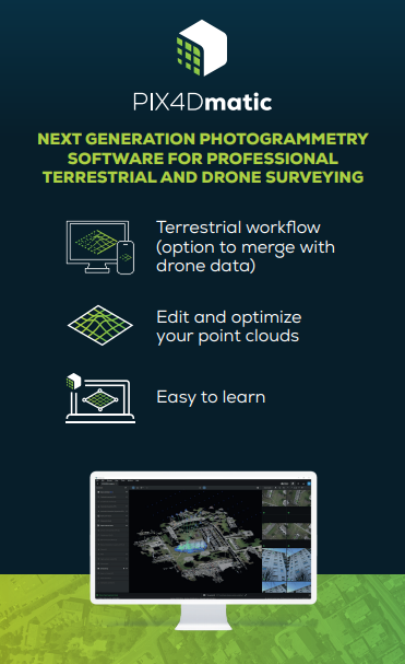
Using image segmentation, this feature allows you to select objects in the images or point cloud and re-classify them.
- Extract pipes and other objects from point cloud for BIM modeling
- Remove people, vehicles, and other objects from point clouds
- Clean up point clouds prior to creating terrain surfaces.
Direct share to Pix4Dcloud
The integration of PIX4Dcloud with PIX4Dmatic is quick and smooth with just a web link. Share your point clouds, DSMs or orthomosaics with colleagues and clients.
- Get the full power of Pix4Dmatic and share your results to Pix4Dcloud.
- Share projects and collaborate with clients and colleagues without the need for individual Pix4D licenses.
Pavement Markings, Manhole, Drain, & Pole Detection
Rapidly and automatically extract structure
and pole locations from large datasets with
ease.
- Automated routines for manholes, drains, and poles.
- Pavement markings following for polylines.
Export as in a variety of formats to CAD and GIS platforms.
PIX4D Cloud
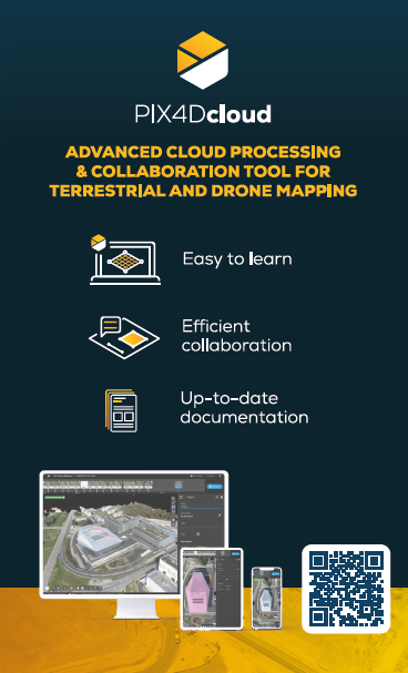
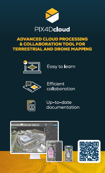
Online platform for mapping, augmented reality, and collaboration.
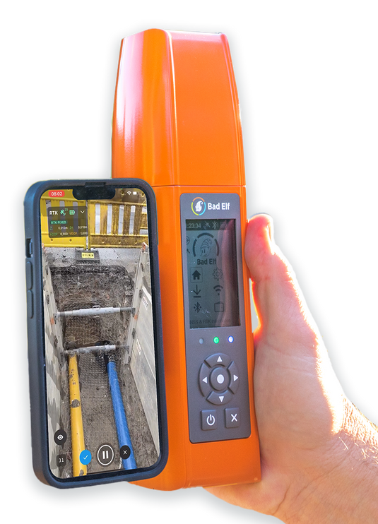
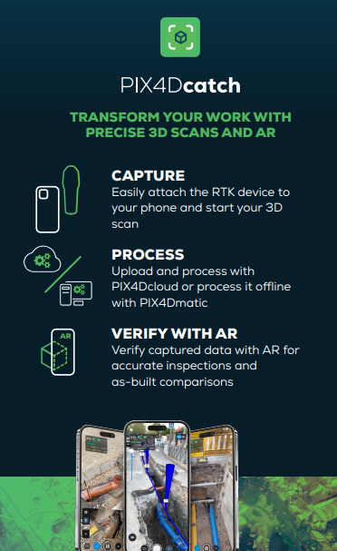
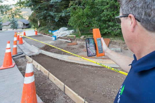
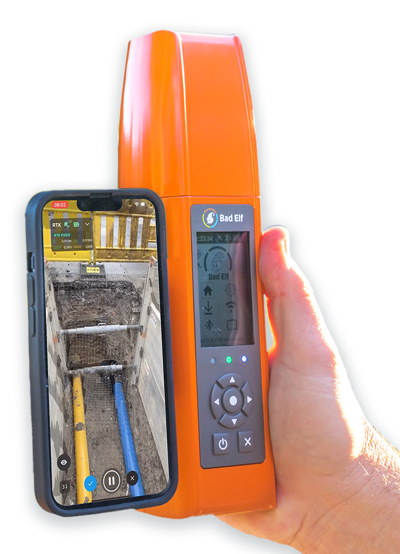
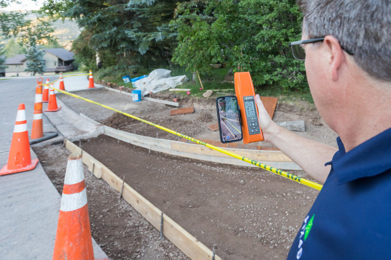
When Pix4Dcloud is combined with Pix4Dcatch they create the ultimate approval and documentations tool. Users can visualize anything in Pix4Dcloud including CAD, BIM, and GIS files, annotations, and scans.
- Visualize design plans in the field before, during, and after construction.
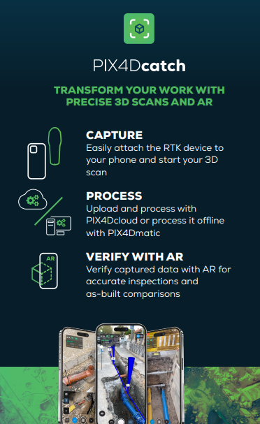
- Approve construction using AR design plans, scan and document with Catch for as-built mapping, and report in Pix4Dcloud.
- Send office markups and notes to field crews.
Software Included
PIX4Dcatch - Yearly
PIX4Dcloud Advanced-Yearly
PIX4Dmatic-Yearly
Pix4D Autotags (5ea)
Training-PIX4Dcatch - cloud and desktop workflow online course
