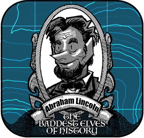
The Most Honest of Bad Elves


Before he became the 16th President of the United States, Abraham Lincoln walked the rolling prairies of Illinois with a compass and chain. In the early 1830s, after serving briefly in the Black Hawk War, Lincoln accepted work as a deputy county surveyor in Sangamon County. Though he had little formal schooling, Lincoln taught himself geometry and trigonometry from borrowed books, mastering the skills he needed to map out farmland, roads, and town plots.
Surveying was more than just a job! Surveying gave Lincoln a deeper understanding of land, property, and the challenges of a growing frontier. It also helped him earn the trust of his neighbors, who saw him as fair, honest, and meticulous qualities that would define “Honest Abe” for the rest of his life.
By the late 1830s, Lincoln’s surveying days gave way to law and politics. He studied to become a lawyer while serving in the Illinois state legislature, eventually building a reputation as a sharp legal mind and a powerful speaker. In 1860, he was elected President, guiding the nation through the Civil War and issuing the Emancipation Proclamation, which reshaped the course of American history.
Interesting facts:
- Lincoln was almost entirely self-taught—he had less than one year of formal education. As a surveyor, he used tools like the Gunter’s chain and compass, working in difficult conditions that tested his endurance.
- He holds the distinction of being the only U.S. president to receive a patent—for a device to lift boats over shoals and obstructions in rivers.
- He stood 6'4", making him the tallest U.S. president in history.
- His love of storytelling and humor made him as approachable on the Illinois frontier as he was in the White House.
Lincoln’s journey from surveyor to statesman is a reminder that precision, fairness, and hard work can lay the groundwork for leadership even at the highest level.

Dr. Smilovsky is the Geospatial Solutions Director for Bad Elf, a GNSS technologies company. Dr S is a faculty member at Arizona State University teaching various GIS and design classes. He is a certified Geographic Information Systems Professional, a certified Arborist, and a Part 107 certified UAV pilot. As a geospatial evangelist, custom geospatial solutions provider, and geographic researcher Dr. S is widely versed in all things geodetic. He is a proud Geoholic!
