Bad Elf’s Flex Base & Rover Solution

Words: 251 | Reading Time: 2 Minutes
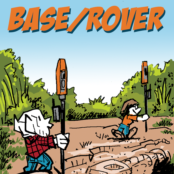
A base and rover GNSS setup involves a precisely positioned base station that collects satellite signals to calculate correction data. This base is fixed at a known location and continuously communicates corrections to the mobile rover unit, which is used across varying locations for fieldwork. The rover applies these corrections to its own satellite data, dramatically enhancing positioning accuracy. This dual-component system is crucial for applications requiring centimeter-level accuracy in real-time, such as precision agriculture, construction, and geospatial data collection.

Bad Elf's Flex Base and Rover solution integrates advanced GNSS technology, offering superior positioning performance by supporting multiple satellite constellations including GPS, GLONASS, Galileo, and BeiDou. This increases the reliability and accuracy of the system under diverse conditions and in challenging environments. The Flex Base can operate in various modes, providing flexibility for different types of correction services such as RTK (Real-Time Kinematic) and SBAS (Satellite-Based Augmentation Systems), which are essential for achieving survey-grade precision.
The solution is designed for seamless use in the field, with the Bad Elf Flex Rover easily connecting to tablets and smartphones for efficient data collection and management. The benefits of this system include enhanced accuracy, reduced field time due to real-time corrections, and the flexibility to tackle a wide range of geospatial tasks with confidence.
For more information, please watch this video on setting up the Bad Elf Base & Rover solution. To schedule a live demo or chat with our geospatial enablement team please email get@bad-elf.com. We look forward to hearing from you!

Dr. Smilovsky is the Geospatial Solutions Director for Bad Elf, a GNSS technologies company. Dr S is a faculty member at Arizona State University teaching various GIS and design classes. He is a certified Geographic Information Systems Professional, a certified Arborist, and a Part 107 certified UAV pilot. As a geospatial evangelist, custom geospatial solutions provider, and geographic researcher Dr. S is widely versed in all things geodetic. He is a proud Geoholic!


