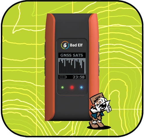
Bad Elf Flex App and Firmware Updates

We're thrilled to announce that the latest release of our free Bad Elf Flex utility app (version 1.3.4) is now available on both the Apple App Store and Google Play stores.
For both iOS and Android users, the new Flex app includes numerous bug fixes and new features, including improvements to data collection checklists, a new URL-based method for loading app and GNSS receiver settings, and a new setting to control the GPX file format version used when exporting track logs.
For Android users, there’s a whole lot more! The Bad Elf Flex app now includes integrated mock location support, which allows any location-based app to use the high-accuracy position data from your Flex or Flex Mini without needing any 3rd party apps. A new checklist (available via the main app menu) walks you through the steps to get this running quickly. On Android we've also revamped the background behavior of our NTRIP and RTK corrections feeds to keep you collecting survey-grade positions all day long. We also fixed a bug preventing exports of logs to some 3rd party apps.
Once you have the Flex app installed and your Flex or Flex Mini receiver connected via Bluetooth, the app will prompt you to upgrade the firmware (if needed). This will give you access to the latest features and bug fixes, documented below:
Flex Mini (Standard and Extreme) - v1.1.0 build 1272
- Added setting to auto-start track logging on boot
- Enabled $PELFID identification and $PELFCFG configuration commands via COM/TTY USB cable
- Added support for RTCM corrections to be received via COM/TTY USB cable
- Fixed bugs causing log transfer timeouts/warnings, LCD backlight issue, and loss of Bluetooth connectivity
- Fixed issue with ForeFlight integration
- Fixed latitude/longitude zero-padding in NMEA provided to 3rd party apps

Dr. Smilovsky is the Geospatial Solutions Director for Bad Elf, a GNSS technologies company. Dr S is a faculty member at Arizona State University teaching various GIS and design classes. He is a certified Geographic Information Systems Professional, a certified Arborist, and a Part 107 certified UAV pilot. As a geospatial evangelist, custom geospatial solutions provider, and geographic researcher Dr. S is widely versed in all things geodetic. He is a proud Geoholic!


