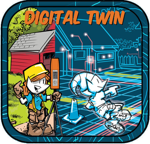
Like Tron? You will Love the Digital Twin

Step inside the “grid.” Not “ground,” for you surveyors out there. With Bad Elf GNSS powering precision and modern GIS tools lighting the way, reality and virtual design fuse into one electrifying experience. Welcome to the digital twin, a world where pixels and points become living, breathing intelligence.
Beyond 3D: The Living Model
A digital twin is not just a 3D dataset. It’s a dynamic, intelligent representation of the world constantly updated, constantly evolving. Like the glowing light cycles of Tron, digital twins race through time, adapting to changes and feeding real-world insights back into the system.
- Reality Capture: Scans, GNSS positioning, IoT sensors, and design models converge.
- Context: The twin connects data to location, giving every object a geospatial identity.
- Intelligence: It reacts to updates in the field, ensuring that decisions are based on the latest truth.
This is why precision matters, because even the smallest inaccuracy ripples through the twin, distorting the entire grid.
The 6Ds of Digital Twins
Like a six-sided identity disc, the digital twin has dimensions beyond the visual. These 6Ds define its power:
- Design – Model the asset in 3D before it’s built.
- Document – Create a reliable source of truth for as-built conditions.
- Decide – Use simulations and analysis to drive informed choices.
- Deliver – Provide accurate data for digital-first workflows.
- Deploy – Manage and maintain assets through their lifecycle.
- Decommission – Plan reuse, recycling, or renewal of assets when their lifecycle ends.
Every “D” represents another level of intelligence, transforming the twin from static geometry into a living digital ecosystem.
Digital Delivery in Construction: The New Frontier
In Tron, battles were fought inside the system. In construction, battles are fought in budgets, timelines, and design approvals. Digital twins give teams the edge by:
- Coordinating trades in real-time with one trusted model.
- Delivering point clouds, meshes, and BIM data directly from field captures.
- Replacing paper sets with living, georeferenced datasets accessible anywhere.
- Reducing rework by ensuring every stakeholder sees the same truth.
Instead of flipping through rolls of drawings, imagine walking a site with the entire project glowing in your hand a construction “grid” where every update flows instantly from the field to the office.
The Geodetic Foundation: Bad Elf Flex
Every great system starts with a stable foundation. In the digital twin world, that foundation is geodetic. Bad Elf GNSS receivers like the Flex and Flex Mini Extreme deliver:
- Centimeter-grade positioning for survey-ready accuracy.
- Low-cost accessibility so every team can play on the grid.
- Compatibility with CAD, GIS, and BIM workflows.
Think of GNSS as the “identity disc” of the twin. Without a precise position, the twin loses its connection to the real world. With Bad Elf, accuracy becomes a standard feature—not a legendary upgrade.
Why Tron Fans Will Love It
In Tron, users stepped into a glowing universe where the digital and physical were inseparable. That’s exactly what a digital twin does, it fuses reality and virtual design into one electrifying experience. Light cycles become construction schedules, identity discs become GNSS coordinates, and the “grid” becomes the modern jobsite.
Call to Action
The digital twin isn’t science fiction—it’s today’s standard for AEC, GIS, and infrastructure. With Bad Elf GNSS providing the geodetic foundation, your twin isn’t just accurate… It's alive! Step inside the grid. Contact sales@bad-elf.com or visit bad-elf.com to start building your digital twin today.


Dr. Smilovsky is the Geospatial Solutions Director for Bad Elf, a GNSS technologies company. Dr S is a faculty member at Arizona State University teaching various GIS and design classes. He is a certified Geographic Information Systems Professional, a certified Arborist, and a Part 107 certified UAV pilot. As a geospatial evangelist, custom geospatial solutions provider, and geographic researcher Dr. S is widely versed in all things geodetic. He is a proud Geoholic!