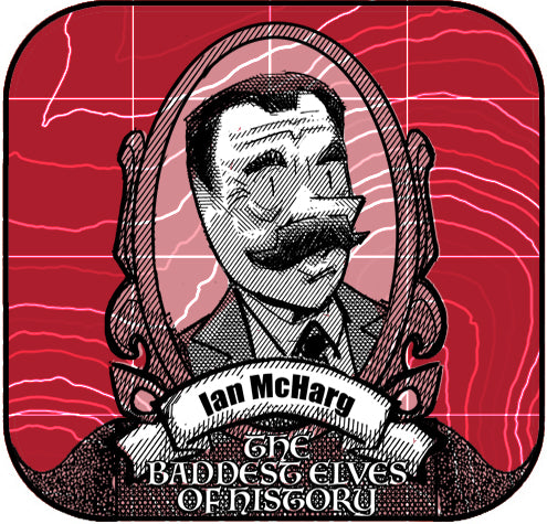
Ian McHarg: The Pioneer of Ecological Design


Ian McHarg, the visionary landscape architect, revolutionized the fields of landscape architecture, geography, and Geographic Information Systems (GIS). His groundbreaking ideas on sustainability and spatial analysis continue to shape modern planning and design practices.
McHarg's Legacy in Landscape Architecture
Ian McHarg’s holistic approach emphasized harmony between human development and the natural environment. His methods prioritized ecological sustainability long before it became a global movement.
The "Layer Cake" Analysis
McHarg introduced the "layer cake" method, where he overlaid transparent maps of natural features—such as vegetation, hydrology, and topography—to analyze landscapes. This innovative process:
- Provided a systematic way to assess ecological suitability for development.
- Inspired the foundational principles behind Geographic Information Systems (GIS).
- Influenced professionals like Jack Dangermond, the founder of Esri, who shared a close friendship with McHarg.
Key Contributions from Design with Nature
McHarg's seminal book Design with Nature outlined principles that remain vital to sustainable design:
- Ecological Planning: Aligning development with the natural processes of an area.
- Stewardship: Advocating for the responsible use of resources to protect future generations.
- Visualizing Data: Using maps and overlays to communicate complex environmental relationships.
- Interdisciplinary Collaboration: Integrating science, design, and policy to solve environmental challenges.
- Sustainability Focus: Highlighting the need for regenerative, not exploitative, practices.
A True Sustainability Designer
McHarg's philosophy combined respect for nature with practical design solutions, laying the foundation for sustainability in modern planning. His work directly influenced GIS's evolution as a tool for integrating and analyzing complex spatial data.
Without Ian McHarg’s visionary contributions, GIS practice as we know it would not exist today. His legacy continues to inspire the integration of technology and ecology in pursuit of a sustainable future. Read more about this geospatial juggernaut by following the links below:

Dr. Smilovsky is the Geospatial Solutions Director for Bad Elf, a GNSS technologies company. Dr S is a faculty member at Arizona State University teaching various GIS and design classes. He is a certified Geographic Information Systems Professional, a certified Arborist, and a Part 107 certified UAV pilot. As a geospatial evangelist, custom geospatial solutions provider, and geographic researcher Dr. S is widely versed in all things geodetic. He is a proud Geoholic!


