 Vendors
Lemur—Mobile Asset Mapping that Delivers Results
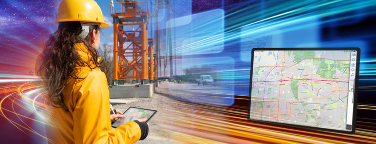
Expedite field work completion across the enterprise with offline-first, scalable, easy-to-use GIS
Empowering Teams with the Right Mobile Mapping Software
The demand for fast, accurate, and safe field service is growing significantly as changing landscapes add pressure to utilities. It’s more important than ever for field teams to have efficient, informative software that integrates seamlessly with the utility systems. The right tools give workers access to real-time data to find and understand their work, document their progress, and update the back-office with completed tasks.
In fact, one of the most impactful results of integrated mobile mapping is the ability to capture and update data directly in the field. This enables data validation while the worker can still fine-tune the information—leading to real-time, accurate recording of asset data the first time, reducing return trips.
Benefits of Lemur’s Integrated Mobile Asset Mapping:
- Streamlined workflows that work completely offline
- Expedited data collection to back-end platform recording
- Increased asset data accuracy with in-field validation and correction
- Increased adoption rate with minimal training
- Seamless, configurable connection to work management systems including
- SAP and Salesforce.

Common Use Cases for Mobile Asset Mapping Include

Welcome to Lemur, The Future of Mobile GIS
Lemur is TRC’s enterprise-grade mobile mapping product that combines powerful GIS
tools
with sophisticated work management systems already in place for thousands of concurrent users. It brings
efficiency and safety to field teams with spatial intelligence, work management integration, and data
capture
tools in a focused, easy to use interface.
Lemur supports virtually all field operations, from vegetation management to asset maintenance and construction. Staff can use geospatial workflows like redlining and as-built to improve both field and back-office business processes. Since Lemur is purpose built to work offline, staff can perform remote duties regardless of cell coverage.
Lemur Mobile Mapping Delivers:

Easy-to-Use, Enterprise-Ready

Achieve Field Program Efficiency Today
Bring the power of GIS to mobile workers and streamline operations. Lemur's
easy-to-use, offline-first approach supports virtually all workflows by combining GIS with
world-class
work management. And since it's native to the platforms already in place, the data is always up to date and
accurate. By delivering an intuitive, robust geospatial toolset, Lemur reduces time wasted finding information,
improves safety, and reduces total cost of ownership.
Learn more: TRCcompanies.com/Lemur