Unlocking the Potential of GNSS Data: Bad Elf’s Symphony of Integratio

Words: 278 | Reading Time: 3 Minutes
Ah, the exquisite dance of hardware and software!
As a scientist, my heart thrums with the rhythm of innovation, particularly when it empowers the extraction of knowledge from the physical world. In this realm, Bad Elf emerges as a maestro, conducting a harmonious interplay between GNSS devices and a diverse range of instruments and applications.
Gone are the days of siloed data collection. Bad Elf's philosophy, aptly captured by their tagline "Engineering Magic," fosters a collaborative spirit. For the uninitiated, GNSS (Global Navigation Satellite System) devices capture precise positioning data.
Traditionally, these data streamed in the form of NMEA (National Marine Electronics Association) sentences, a standardized messaging protocol understood by various navigation equipment. However, the true magic lies in unlocking the full potential of these data through custom integrations. Bad Elf offers a two-pronged approach to this symphony of integrations.
- Bad Elf’s public Software Development Kit (SDK) on GitHub empowers developers and enthusiasts to craft bespoke solutions. This open-source platform provides the building blocks for seamless data exchange between Bad Elf GNSS devices and a multitude of hardware and software platforms.
- Bad Elf's dedicated research and development team collaborates directly with third-party solution providers. This collaborative spirit translates into an array of pre-built integrations, each meticulously crafted to optimize workflows across diverse disciplines.
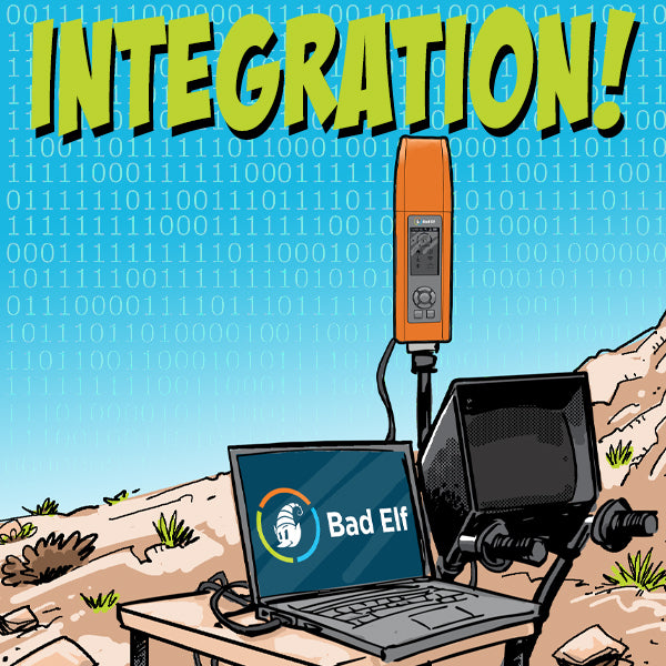
Imagine the efficiency of integrating a Bad Elf GNSS device with a rangefinder for enhanced distance measurements or the synergy achieved by coupling it with ground penetrating radar for a more holistic subsurface exploration. Currently Bad Elf integrated with the LTI and Haglof brands. LiDAR (Light Detection and Ranging) enthusiasts rejoice as Bad Elf integrations unlock the potential for highly accurate 3D mapping too!


Dr. Smilovsky is the Geospatial Solutions Director for Bad Elf, a GNSS technologies company. Dr S is a faculty member at Arizona State University teaching various GIS and design classes. He is a certified Geographic Information Systems Professional, a certified Arborist, and a Part 107 certified UAV pilot. As a geospatial evangelist, custom geospatial solutions provider, and geographic researcher Dr. S is widely versed in all things geodetic. He is a proud Geoholic!