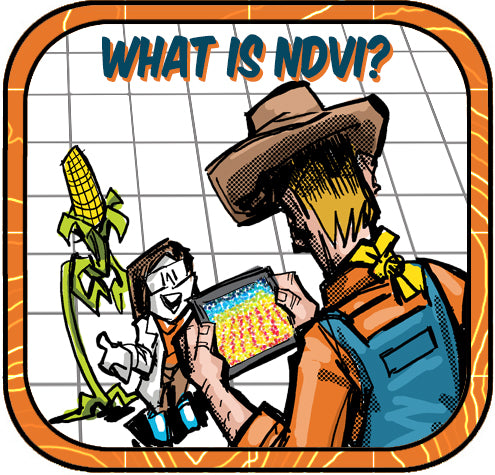
Understanding the Normalized Difference Vegetation Index (NDVI)

The Normalized Difference Vegetation Index (NDVI) is a critical measure for assessing plant health, capturing data that reflects how plants absorb and reflect light.
Here’s a concise breakdown of what NDVI is, how it’s collected and used, and its importance in monitoring vegetation:
What is NDVI?
NDVI is a simple graphical indicator used to analyze remote sensing measurements and assess whether the target being observed contains live green vegetation or not. By comparing the visible and near-infrared sunlight reflected by plants, NDVI indicates the health and density of plant cover.
Data Collection:
Professionals often use drones equipped with Near-Infrared (NIR) cameras to collect the necessary data. These drones fly over an area and capture detailed images that reflect the amount of infrared light vegetation absorbs and reflects.
Data Processing:
Once collected, NDVI data are processed using specific formulas where the NIR values are normalized by visible light absorption, typically calculated as:
- NDVI = (NIR+Red) / (NIR−Red)
This formula results in values ranging from -1.0 to 1.0, indicating the density and health of plant life in the area.
Use of Data:
The data processed from NDVI measurements are extensively used in agriculture to
- monitor crop health,
- optimize farming practices,
- environmental monitoring and assessment
- and manage resources more efficiently.
Importance of NDVI:
Understanding plant health through NDVI allows for timely interventions in agricultural practices, ensures sustainable land management, and supports ecological research by providing data crucial for conservation efforts.
Integration with GPS:
The precision of NDVI data collection is enhanced by the use of GPS ground control shots from devices like the Bad Elf Flex. GPS, or Global Positioning System, provides accurate location data that serve as a spatial reference for NDVI data. This integration ensures that the vegetation index is mapped precisely to the physical location, improving the reliability of environmental assessments.
GPS is a satellite-based navigation system that allows ground receivers, like those in drones or handheld devices, to determine their exact location (latitude, longitude, and altitude) by timing signals sent from satellites. With its global coverage, GPS is indispensable in aligning NDVI data with geographical coordinates, making the data actionable and understandable.
Conclusion:
The combined use of NIR cameras on drones and GPS technology like the Bad Elf Flex brings a high level of accuracy and applicability to NDVI assessments, enabling more informed decisions in agriculture, conservation, and land management.
For further reading on NDVI and GPS technology, academic articles and resources can be accessed through educational databases and journals dedicated to remote sensing and geographic information systems. These articles offer deeper insights into the mechanics, applications, and impacts of NDVI and GPS in modern environmental science. You can also email Bad Elf’s Geospatial Enablement Team (GET) for more information at get@bad-elf.com.


Dr. Smilovsky is the Geospatial Solutions Director for Bad Elf, a GNSS technologies company. Dr S is a faculty member at Arizona State University teaching various GIS and design classes. He is a certified Geographic Information Systems Professional, a certified Arborist, and a Part 107 certified UAV pilot. As a geospatial evangelist, custom geospatial solutions provider, and geographic researcher Dr. S is widely versed in all things geodetic. He is a proud Geoholic!